Transport Functions
Rail
Road
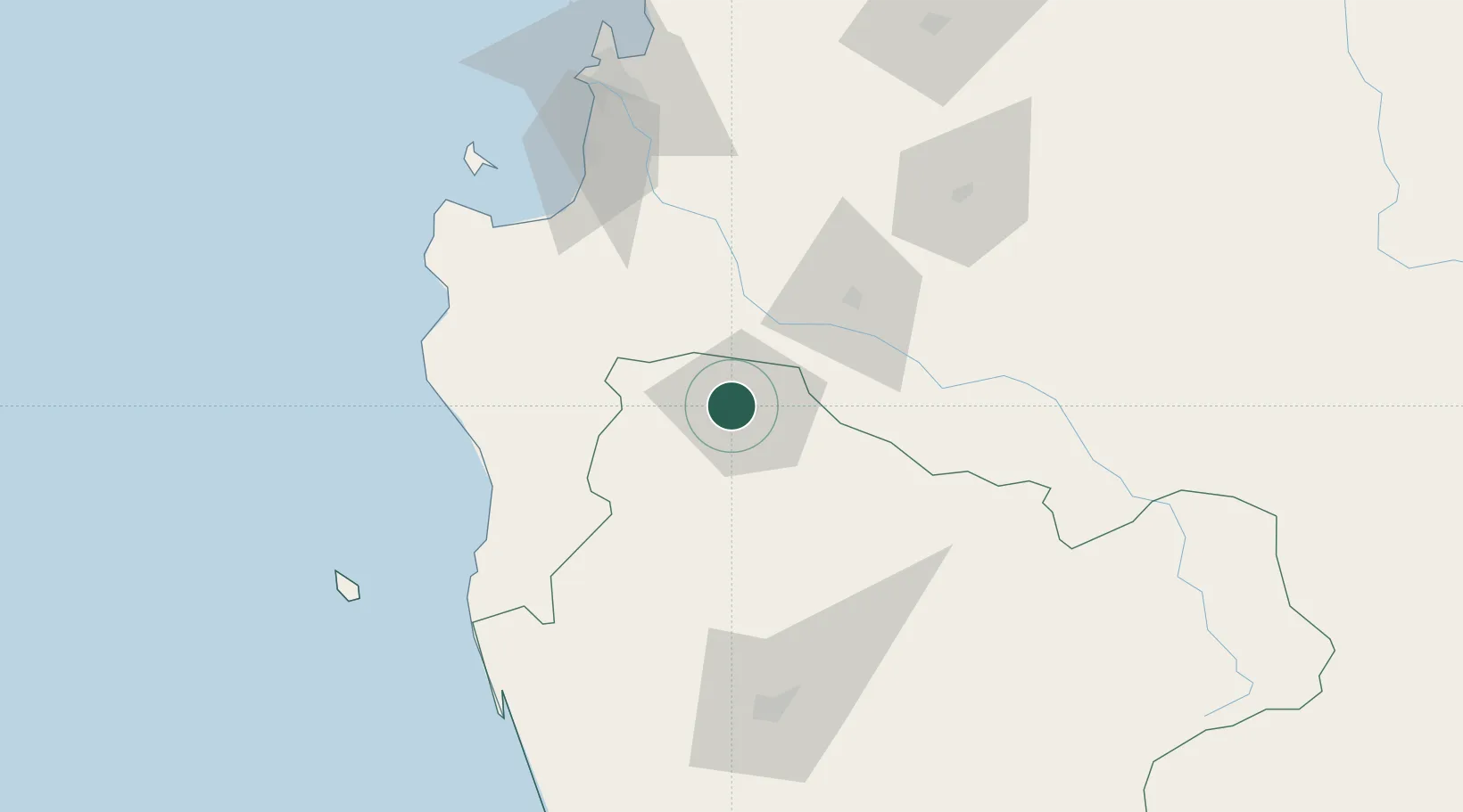
Hub Profile
Place type
Provincial seat
Region
Araucanía
Population
44,856
Time zone
America/Santiago
Elevation
65 m
Location
Nearby Logistics Neighbours
Cities
- 1Renaico19 km
- 2Los Sauces21 km
- 3Collipulli30 km
- 4Purén40 km
- 5Ercilla40 km
Ports
- 1Lota87 km
- 2Coronel94 km
- 3Lirquen123 km
- 4Penco123 km
- 5Bahia San Vicente125 km
Airports
- 1Victoria Airport59 km
- 2Maquehue Airport108 km
- 3Carriel Sur International Airport118 km
- 4La Araucanía International Airport125 km
- 5Gral. Bernardo O´Higgins Airport148 km
Trade Zones
DatabookThe Record of Consolidated Knowledge
Chile beyond logistics?