Transport Functions
Rail
Road
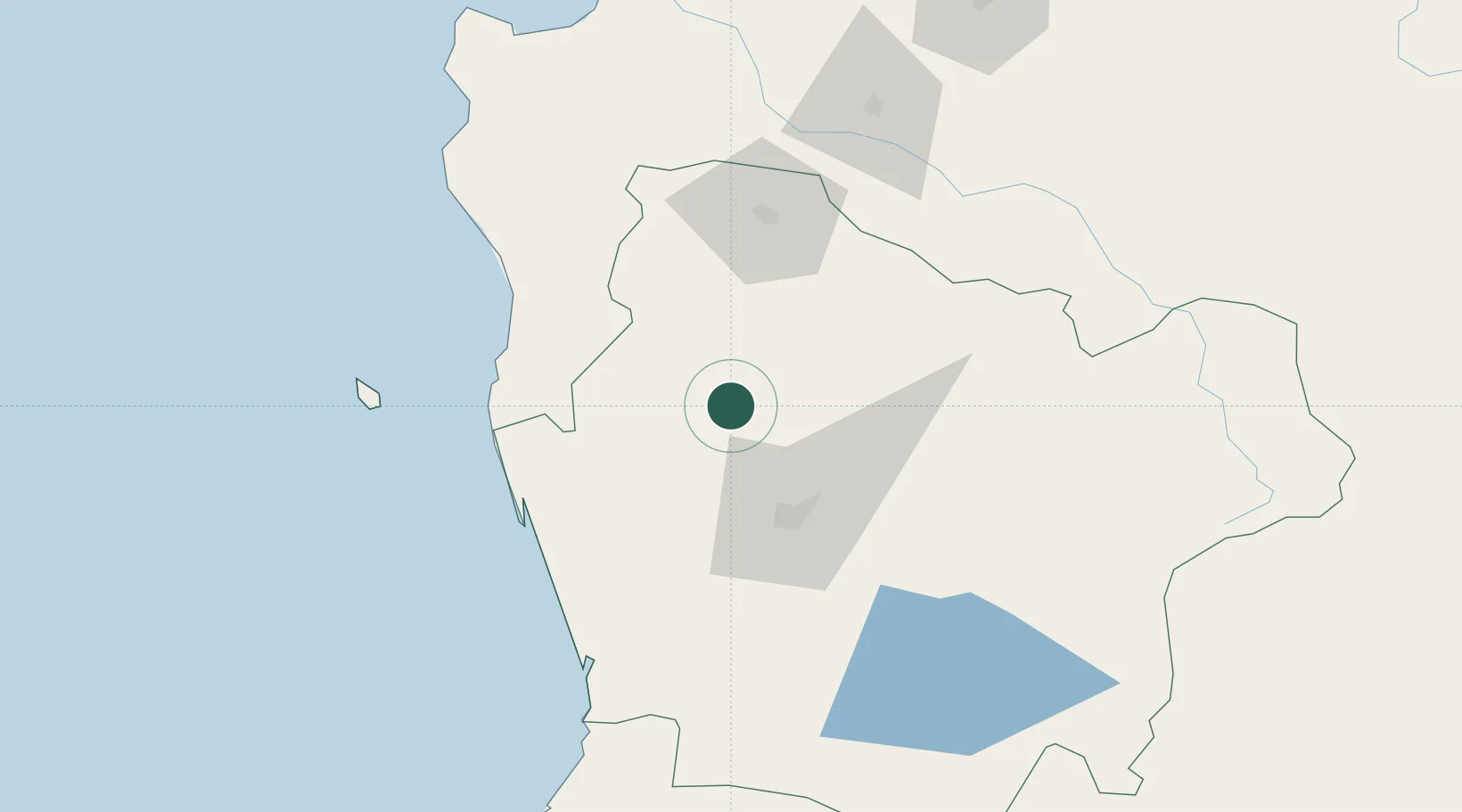
Hub Profile
Place type
Populated place
Region
Araucanía
Population
12,469
Time zone
America/Santiago
Elevation
52 m
Location
Nearby Logistics Neighbours
Cities
- 1Traiguén19 km
- 2Lumaco30 km
- 3Lautaro32 km
- 4Perquenco35 km
- 5Nueva Imperial40 km
Ports
- 1Lota148 km
- 2Coronel156 km
- 3Bahia De Valdivia161 km
- 4Puerto De Corral173 km
- 5Lirquen188 km
Airports
- 1Victoria Airport42 km
- 2Maquehue Airport43 km
- 3La Araucanía International Airport60 km
- 4Pucón Airport125 km
- 5Pichoy Airport141 km
Trade Zones
DatabookThe Record of Consolidated Knowledge
Chile beyond logistics?