Transport Functions
Rail
Road
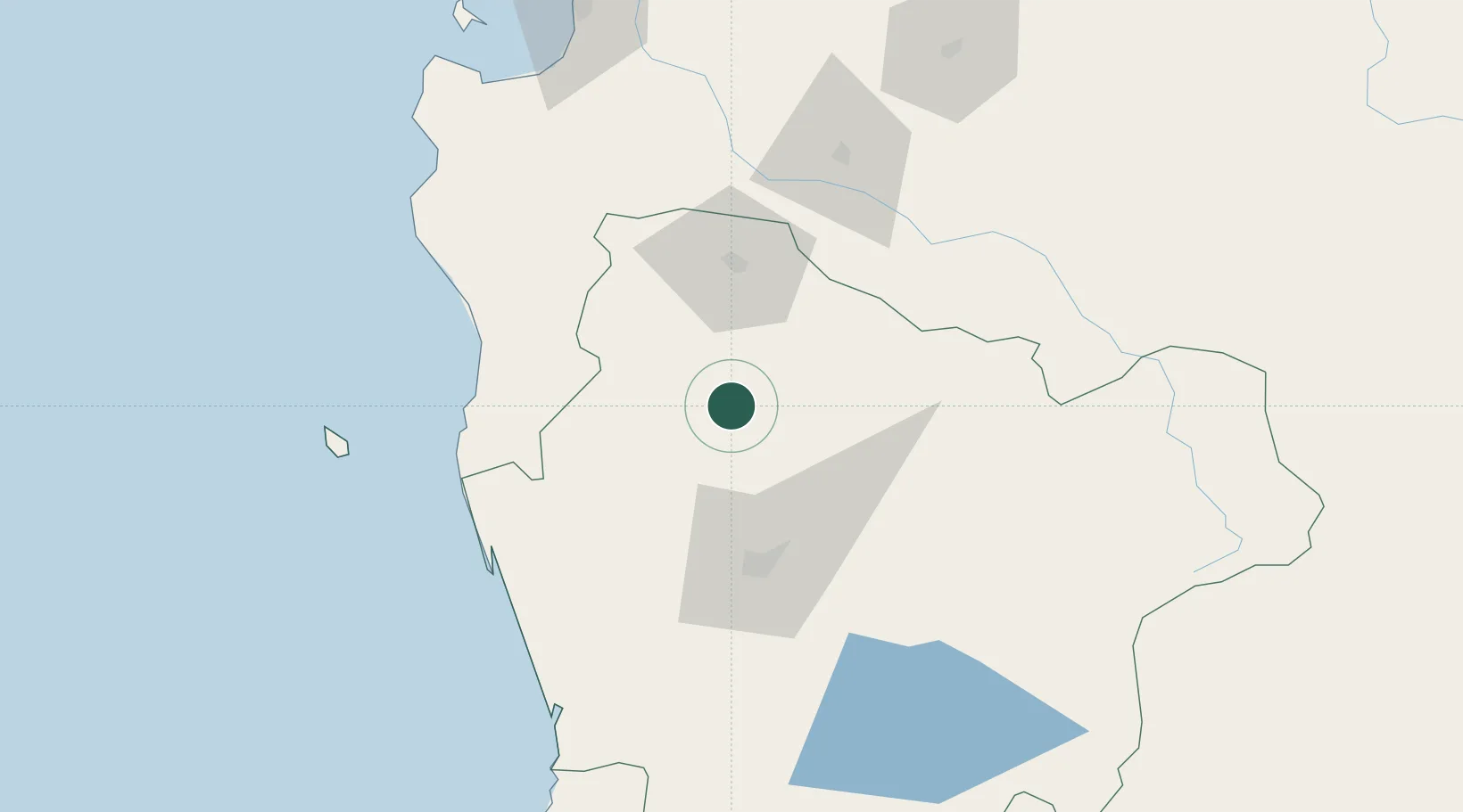
Hub Profile
Place type
Populated place
Region
Araucanía
Population
17,164
Time zone
America/Santiago
Elevation
180 m
Location
Nearby Logistics Neighbours
Cities
- 1Galvarino19 km
- 2Lumaco23 km
- 3Perquenco32 km
- 4Victoria32 km
- 5Los Sauces34 km
Ports
- 1Lota134 km
- 2Coronel142 km
- 3Lirquen173 km
- 4Penco173 km
- 5Bahia San Vicente174 km
Airports
- 1Victoria Airport29 km
- 2Maquehue Airport58 km
- 3La Araucanía International Airport75 km
- 4Pucón Airport134 km
- 5Pichoy Airport160 km
Trade Zones
DatabookThe Record of Consolidated Knowledge
Chile beyond logistics?