Small airport · Chile
Pucón AirportSCPC
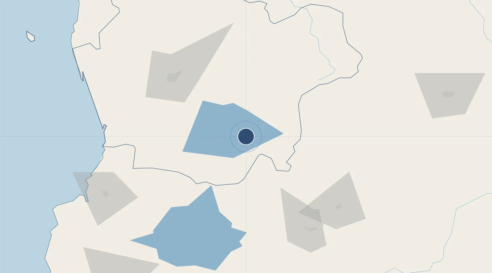
-39.2928°, -71.9159°
5,576 ft
Longest runway
1
Runways
853 ft
Elevation
Runway & Layout

Runways · 1
| Runway | Dimensions | Surface | True heading | Lit |
|---|---|---|---|---|
| 09/27 | 5,576 × 98ft | Asphalt | 103° | ✓ |
Airport Specifications
IATA code
ZPC
ICAO code
SCPC
Airport class
Small airport
Scheduled service
Yes
Runway surface
Asphalt
Served city
Pucon
Location
Nearby Logistics Neighbours
Airports
- 1La Araucanía International Airport75 km
- 2Maquehue Airport85 km
- 3Pichoy Airport108 km
- 4Aviador C. Campos Airport110 km
- 5Victoria Airport122 km
Cities
- 1Villarrica26 km
- 2Cunco43 km
- 3Gorbea70 km
- 4Loncoche71 km
- 5Pitrufquén72 km
Ports
- 1Bahia De Valdivia128 km
- 2Puerto De Corral145 km
- 3Puerto Montt259 km
- 4Lota267 km
- 5Coronel274 km
Trade Zones
DatabookThe Record of Consolidated Knowledge
Chile beyond logistics?