Large airport · Chile

La Araucanía International AirportSCQP
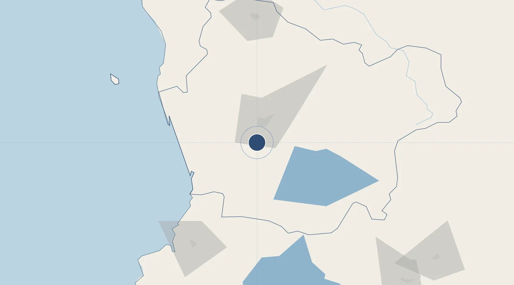
-38.9259°, -72.6515°
8,005 ft
Longest runway
1
Runways
333 ft
Elevation

Runway & Layout

La Araucanía International Airport runway & taxiway layout
Runway & taxiway layout — OpenStreetMap (ODbL) / OurAirports

Runways · 1

RunwayDimensions SurfaceTrue headingLit
01/19 8,005 × 148ft ASPH
OurAirports

Airport Specifications

IATA code
ZCO
OurAirports
ICAO code
SCQP
OurAirports
Airport class
Large airport
OurAirports
Scheduled service
Yes
OurAirports
Runway surface
ASPH
OurAirports
Served city
Temuco
OurAirports

Location

Location of SCQP
Natural Earth 10m (public domain) · La Araucanía · SCQP · -38.93, -72.65GoogleOSMYandex

Nearby Logistics Neighbours

Airports
  1. 1Maquehue Airport18 km
  2. 2Pucón Airport75 km
  3. 3Victoria Airport80 km
  4. 4Pichoy Airport89 km
  5. 5Las Marías Airport109 km
Nearest neighbours — logibook spatial index (haversine) over the source coordinates
Cities
  1. 1Freire3 km
  2. 2Pitrufquén6 km
  3. 3Padre Las Casas18 km
  4. 4Gorbea20 km
  5. 5Temuco24 km
Nearest neighbours — logibook spatial index (haversine) over the source coordinates
Ports
  1. 1Bahia De Valdivia110 km
  2. 2Puerto De Corral124 km
  3. 3Lota208 km
  4. 4Coronel215 km
  5. 5Lirquen247 km
Nearest neighbours — logibook spatial index (haversine) over the source coordinates
Trade Zones
  1. 1Zona Franca Zapala (Zapala Free Trade Zone)220 km
  2. 2Zona Franca Mendoza Free Trade Zone731 km
  3. 3General Pico Free Zone863 km
  4. 4Justo Daract Free Trade Zone875 km
  5. 5Zona Franca de San Luis876 km
Nearest neighbours — logibook spatial index (haversine) over the source coordinates
DatabookThe Record of Consolidated Knowledge
Chile beyond logistics?
Browse databook

All Sources

AirportsOurAirports
Public domain
Portsthe NGA World Port Index
Public domain (US gov)
LocationsUN/LOCODE
UN/LOCODE — free
Trade Zonesthe World Bank SEZ database
CC BY 4.0
Trade ZonesOpen Zone Map
CC BY
InfrastructureOpenStreetMap
ODbL 1.0
← Chile airports