Large airport · Chile

Carriel Sur International AirportSCIE
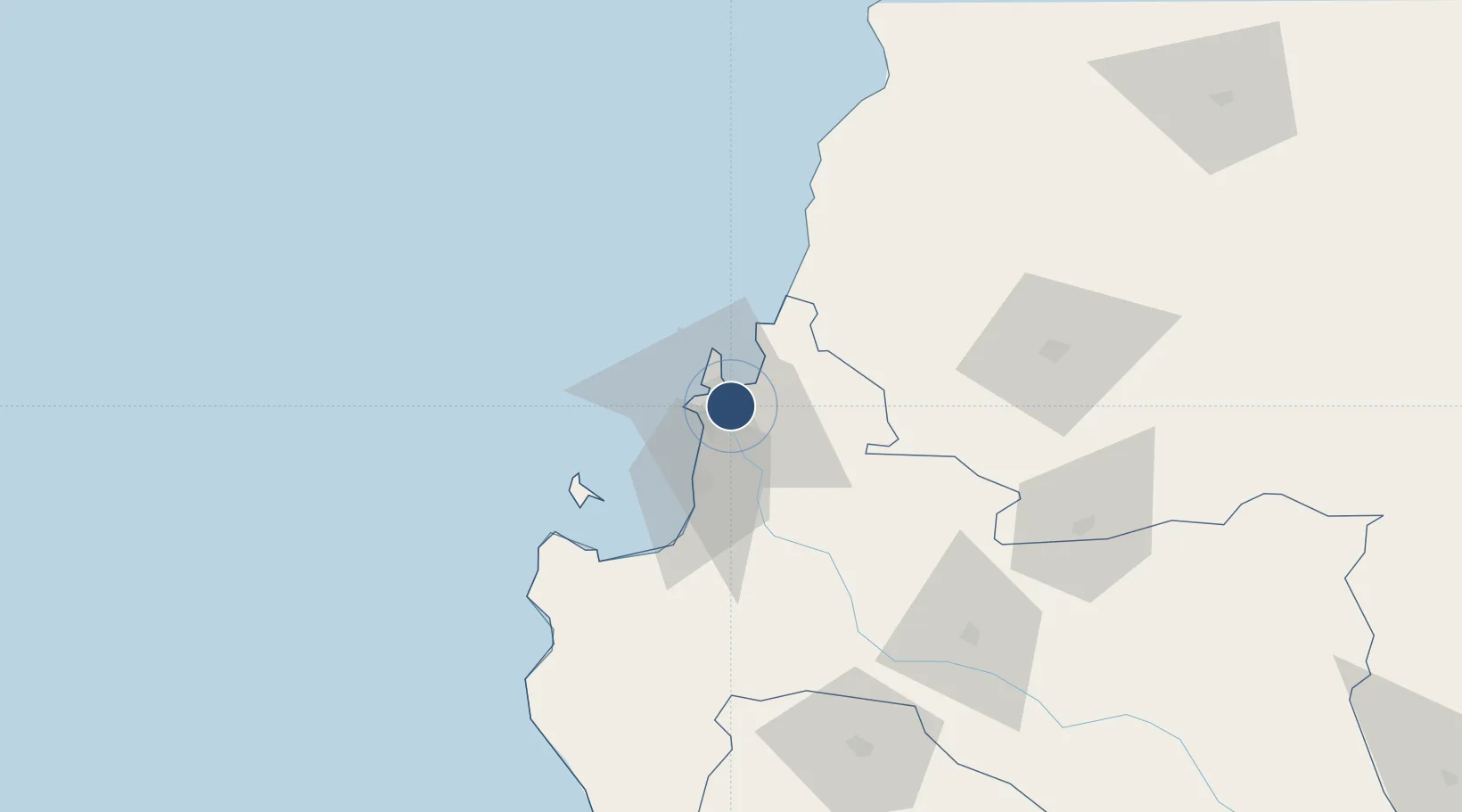
-36.7724°, -73.0628°
8,530 ft
Longest runway
2
Runways
26 ft
Elevation

Runway & Layout

Carriel Sur International Airport runway & taxiway layout
Runway & taxiway layout — OpenStreetMap (ODbL) / OurAirports

Radio Frequencies

TWR
118.6 MHz
CONCEPCION TWR
GND
121.9 MHz
APP
129.35 MHz
CONCEPCION APP
OurAirports

Navaids

CAR VOR-DME Concepcion 114.30 MHz
CE NDB Concepcion 254 kHz
OurAirports

Runways · 2

RunwayDimensions SurfaceTrue headingLit
02/20 8,530 × 148ft Asphalt 025°
02R/20L 6,470 × 98ft Asphalt 025°
OurAirports

Airport Specifications

IATA code
CCP
OurAirports
ICAO code
SCIE
OurAirports
Airport class
Large airport
OurAirports
Scheduled service
Yes
OurAirports
Runway surface
Asphalt
OurAirports
Served city
Concepcion
OurAirports

Location

Location of SCIE
Natural Earth 10m (public domain) · Bío-Bío · SCIE · -36.77, -73.06GoogleOSMYandex

Nearby Logistics Neighbours

Airports
  1. 1Gral. Bernardo O´Higgins Airport94 km
  2. 2Victoria Airport176 km
  3. 3Panguilemo Airport203 km
  4. 4Maquehue Airport225 km
  5. 5La Araucanía International Airport242 km
Nearest neighbours — logibook spatial index (haversine) over the source coordinates
Cities
  1. 1Concepción5 km
  2. 2Talcahuano6 km
  3. 3San Vicente8 km
  4. 4Penco9 km
  5. 5Lirquén9 km
Nearest neighbours — logibook spatial index (haversine) over the source coordinates
Ports
  1. 1Penco8 km
  2. 2Talcahuano9 km
  3. 3Lirquen9 km
  4. 4Bahia San Vicente10 km
  5. 5Coronel31 km
Nearest neighbours — logibook spatial index (haversine) over the source coordinates
Trade Zones
  1. 1Zona Franca Zapala (Zapala Free Trade Zone)349 km
  2. 2Zona Franca Mendoza Free Trade Zone556 km
  3. 3Zona Franca de San Luis786 km
  4. 4Justo Daract Free Trade Zone786 km
  5. 5General Pico Free Zone841 km
Nearest neighbours — logibook spatial index (haversine) over the source coordinates
DatabookThe Record of Consolidated Knowledge
Chile beyond logistics?
Browse databook

All Sources

AirportsOurAirports
Public domain
Portsthe NGA World Port Index
Public domain (US gov)
LocationsUN/LOCODE
UN/LOCODE — free
Trade Zonesthe World Bank SEZ database
CC BY 4.0
Trade ZonesOpen Zone Map
CC BY
InfrastructureOpenStreetMap
ODbL 1.0
← Chile airports