Transport Functions
Rail
Road
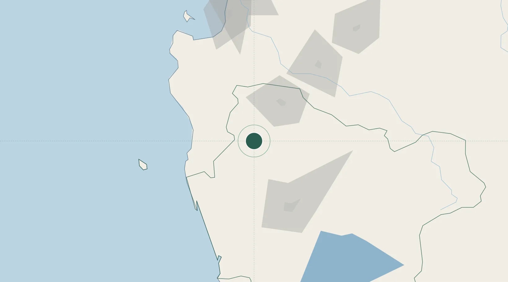
Hub Profile
Place type
Populated place
Region
Araucanía
Population
11,405
Time zone
America/Santiago
Elevation
65 m
Location
Nearby Logistics Neighbours
Cities
- 1Purén21 km
- 2Los Sauces22 km
- 3Traiguén23 km
- 4Galvarino30 km
- 5Angol43 km
Ports
- 1Lota119 km
- 2Coronel126 km
- 3Bahia San Vicente159 km
- 4Lirquen160 km
- 5Penco160 km
Airports
- 1Victoria Airport51 km
- 2Maquehue Airport73 km
- 3La Araucanía International Airport89 km
- 4Carriel Sur International Airport154 km
- 5Pucón Airport154 km
Trade Zones
DatabookThe Record of Consolidated Knowledge
Chile beyond logistics?