Seaport · Chile

Bahia San VicenteCLSVE

-36.7333°, -73.1667°
23.2 m
Channel depth
1
Container terminals
99.5
Port liner connectivity
Bahia San Vicente is also a UN/LOCODE logistics hub →

Channel & Berth Profile

SEA LEVEL (CD)CHANNEL BEDCargo pier · 11.0 mOil terminal · 12.5 mAnchorage · 18.6 mChannel · 23.2 m
NGA World Port Index

Pilotage, Tugs & Services

Pilotage compulsoryYES
Pilotage availableYES
Tug assistanceYES
Shore powerYES
Potable waterYES
Diesel bunkersYES
MedicalYES
NGA World Port Index

Facilities & Capabilities

Container
Ro-Ro
Liquid bulk
Dry bulk
Oil terminal
Break bulk
Dry dockNO
RepairsNO
BunkeringYES
Rail linkYES
Dangerous cargo
ISPS security
NGA World Port Index

Harbour Specifications

Harbour size
Very Small
NGA World Port Index
Harbour type
Coastal (Natural)
NGA World Port Index
Shelter
Fair
NGA World Port Index
Water body
South Pacific Ocean
NGA World Port Index
Tidal range
1 m
NGA World Port Index
Pilotage
Yes
NGA World Port Index

Liner Connectivity

99.5
PLSCI

Port Liner Shipping Connectivity Index for Bahia San Vicente, as published by UNCTAD for the latest available quarter. Higher values indicate stronger scheduled liner-shipping integration.

Shown relative to the highest per-port PLSCI in the dataset (1,657.9).
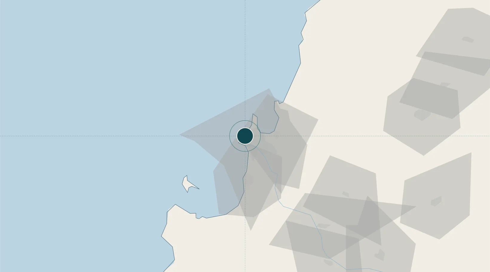
UNCTAD · Port Liner Shipping Connectivity Index

Location

Location of CLSVE
Natural Earth 10m (public domain) · Bío-Bío · CLSVE · -36.73, -73.17GoogleOSMYandex

Container Terminals · 1

SVTI SAN VICENTE OCEAN TERMINAL
SVTI SAN VICENTE TERMINAL INTERNACIONAL
SMDG Terminal Code List

Nearby Logistics Neighbours

Ports
  1. 1Talcahuano7 km
  2. 2Penco15 km
  3. 3Lirquen16 km
  4. 4Coronel33 km
  5. 5Lota41 km
Nearest neighbours — logibook spatial index (haversine) over the source coordinates
Cities
  1. 1Talcahuano5 km
  2. 2Concepción14 km
  3. 3Lirquén16 km
  4. 4Penco16 km
  5. 5Tomé24 km
Nearest neighbours — logibook spatial index (haversine) over the source coordinates
Airports
  1. 1Carriel Sur International Airport10 km
  2. 2Gral. Bernardo O´Higgins Airport103 km
  3. 3Victoria Airport183 km
  4. 4Panguilemo Airport206 km
  5. 5Maquehue Airport231 km
Nearest neighbours — logibook spatial index (haversine) over the source coordinates
Trade Zones
  1. 1Zona Franca Zapala (Zapala Free Trade Zone)359 km
  2. 2Zona Franca Mendoza Free Trade Zone559 km
  3. 3Zona Franca de San Luis793 km
  4. 4Justo Daract Free Trade Zone793 km
  5. 5General Pico Free Zone850 km
Nearest neighbours — logibook spatial index (haversine) over the source coordinates
DatabookThe Record of Consolidated Knowledge
Chile beyond logistics?
Browse databook

All Sources

Portsthe NGA World Port Index
Public domain (US gov)
Logistics performanceUNCTAD
CC BY 3.0 IGO
Portsthe SMDG Terminal Code List
UN/LOCODE — free, attribution
AirportsOurAirports
Public domain
LocationsUN/LOCODE
UN/LOCODE — free
Trade Zonesthe World Bank SEZ database
CC BY 4.0
Trade ZonesOpen Zone Map
CC BY
← Chile ports