Transport Functions
Rail
Road
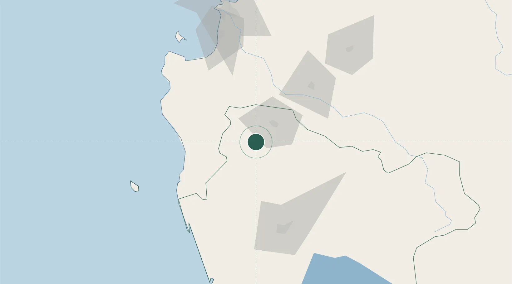
Hub Profile
Place type
Populated place
Region
Araucanía
Population
7,169
Time zone
America/Santiago
Elevation
123 m
Location
Nearby Logistics Neighbours
Cities
- 1Angol21 km
- 2Lumaco22 km
- 3Purén23 km
- 4Traiguén34 km
- 5Collipulli35 km
Ports
- 1Lota100 km
- 2Coronel108 km
- 3Lirquen140 km
- 4Penco140 km
- 5Bahia San Vicente140 km
Airports
- 1Victoria Airport53 km
- 2Maquehue Airport91 km
- 3La Araucanía International Airport108 km
- 4Carriel Sur International Airport134 km
- 5Pucón Airport168 km
Trade Zones
DatabookThe Record of Consolidated Knowledge
Chile beyond logistics?