Seaport · Chile

CoronelCLCNL

-37.0333°, -73.1667°
17.1 m
Channel depth
1
Container terminals
100.4
Port liner connectivity
Coronel is also a UN/LOCODE logistics hub →

Channel & Berth Profile

SEA LEVEL (CD)CHANNEL BEDCargo pier · 12.5 mOil terminal · 12.5 mAnchorage · 15.5 mChannel · 17.1 m
NGA World Port Index

Pilotage, Tugs & Services

Pilotage compulsoryYES
Pilotage availableYES
Tug assistanceYES
Potable waterYES
Diesel bunkersNO
MedicalYES
NGA World Port Index

Facilities & Capabilities

Container
Ro-Ro
Liquid bulk
Dry bulk
Oil terminal
Break bulk
Dry dock
Repairs
BunkeringYES
Rail linkYES
Dangerous cargo
ISPS security
NGA World Port Index

Harbour Specifications

Harbour size
Small
NGA World Port Index
Harbour type
Coastal (Natural)
NGA World Port Index
Shelter
Excellent
NGA World Port Index
Water body
South Pacific Ocean
NGA World Port Index
Tidal range
1 m
NGA World Port Index
Overhead limit
No
NGA World Port Index
Pilotage
Yes
NGA World Port Index

Liner Connectivity

100.4
PLSCI

Port Liner Shipping Connectivity Index for Coronel, as published by UNCTAD for the latest available quarter. Higher values indicate stronger scheduled liner-shipping integration.

Shown relative to the highest per-port PLSCI in the dataset (1,657.9).
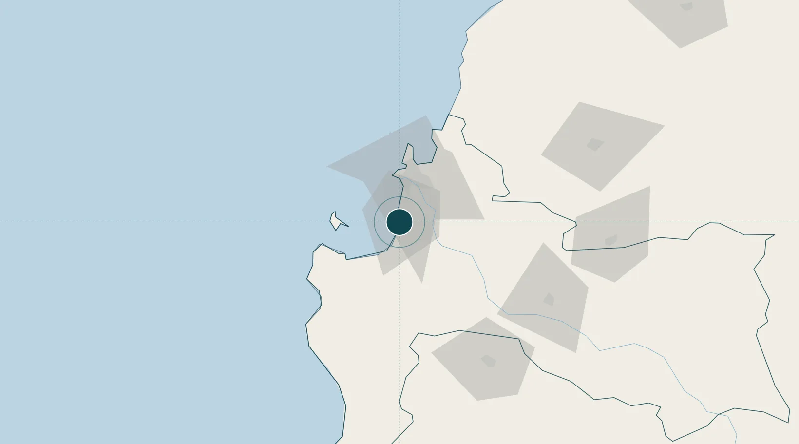
UNCTAD · Port Liner Shipping Connectivity Index

Location

Location of CLCNL
Natural Earth 10m (public domain) · Bío-Bío · CLCNL · -37.03, -73.17GoogleOSMYandex

Container Terminals · 1

PUERTO CORONEL
CPC PUERTO DE CORONEL S.A.
SMDG Terminal Code List

Nearby Logistics Neighbours

Ports
  1. 1Lota8 km
  2. 2Bahia San Vicente33 km
  3. 3Talcahuano38 km
  4. 4Penco38 km
  5. 5Lirquen39 km
Nearest neighbours — logibook spatial index (haversine) over the source coordinates
Cities
  1. 1Lota6 km
  2. 2Chiguayante19 km
  3. 3Concepción26 km
  4. 4Arauco28 km
  5. 5Talcahuano33 km
Nearest neighbours — logibook spatial index (haversine) over the source coordinates
Airports
  1. 1Carriel Sur International Airport31 km
  2. 2Gral. Bernardo O´Higgins Airport113 km
  3. 3Victoria Airport153 km
  4. 4Maquehue Airport198 km
  5. 5La Araucanía International Airport215 km
Nearest neighbours — logibook spatial index (haversine) over the source coordinates
Trade Zones
  1. 1Zona Franca Zapala (Zapala Free Trade Zone)337 km
  2. 2Zona Franca Mendoza Free Trade Zone583 km
  3. 3Zona Franca de San Luis806 km
  4. 4Justo Daract Free Trade Zone806 km
  5. 5General Pico Free Zone853 km
Nearest neighbours — logibook spatial index (haversine) over the source coordinates
DatabookThe Record of Consolidated Knowledge
Chile beyond logistics?
Browse databook

All Sources

Portsthe NGA World Port Index
Public domain (US gov)
Logistics performanceUNCTAD
CC BY 3.0 IGO
Portsthe SMDG Terminal Code List
UN/LOCODE — free, attribution
AirportsOurAirports
Public domain
LocationsUN/LOCODE
UN/LOCODE — free
Trade Zonesthe World Bank SEZ database
CC BY 4.0
Trade ZonesOpen Zone Map
CC BY
← Chile ports