Transport Functions
Rail
Road
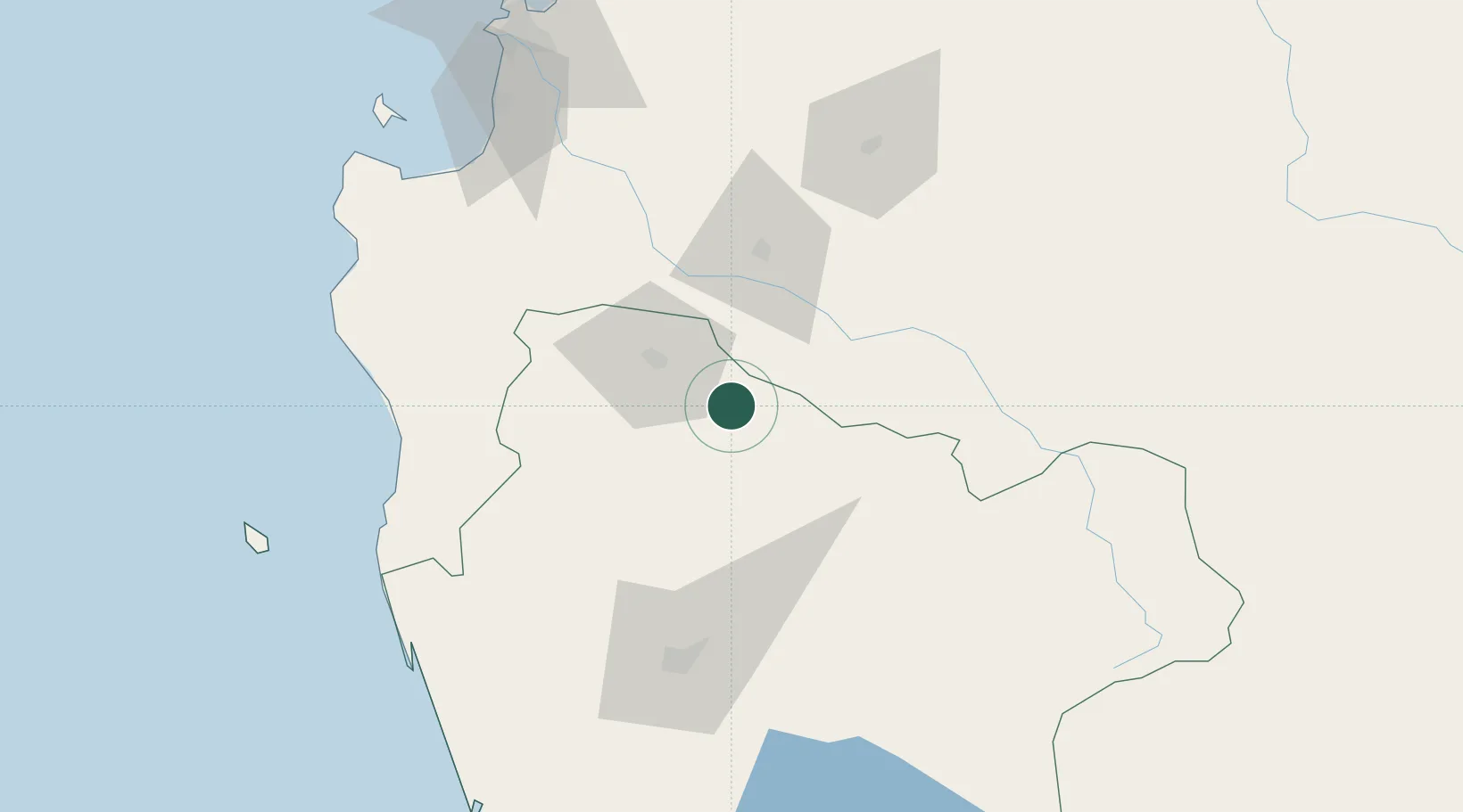
Hub Profile
Place type
Populated place
Region
Araucanía
Population
23,321
Time zone
America/Santiago
Elevation
257 m
Location
Nearby Logistics Neighbours
Cities
- 1Ercilla12 km
- 2Angol30 km
- 3Victoria33 km
- 4Renaico34 km
- 5Los Sauces35 km
Ports
- 1Lota114 km
- 2Coronel121 km
- 3Lirquen146 km
- 4Penco146 km
- 5Bahia San Vicente150 km
Airports
- 1Victoria Airport34 km
- 2Maquehue Airport93 km
- 3La Araucanía International Airport110 km
- 4Carriel Sur International Airport142 km
- 5Pucón Airport156 km
Trade Zones
DatabookThe Record of Consolidated Knowledge
Chile beyond logistics?