Transport Functions
Port
Rail
Road
Hub Profile
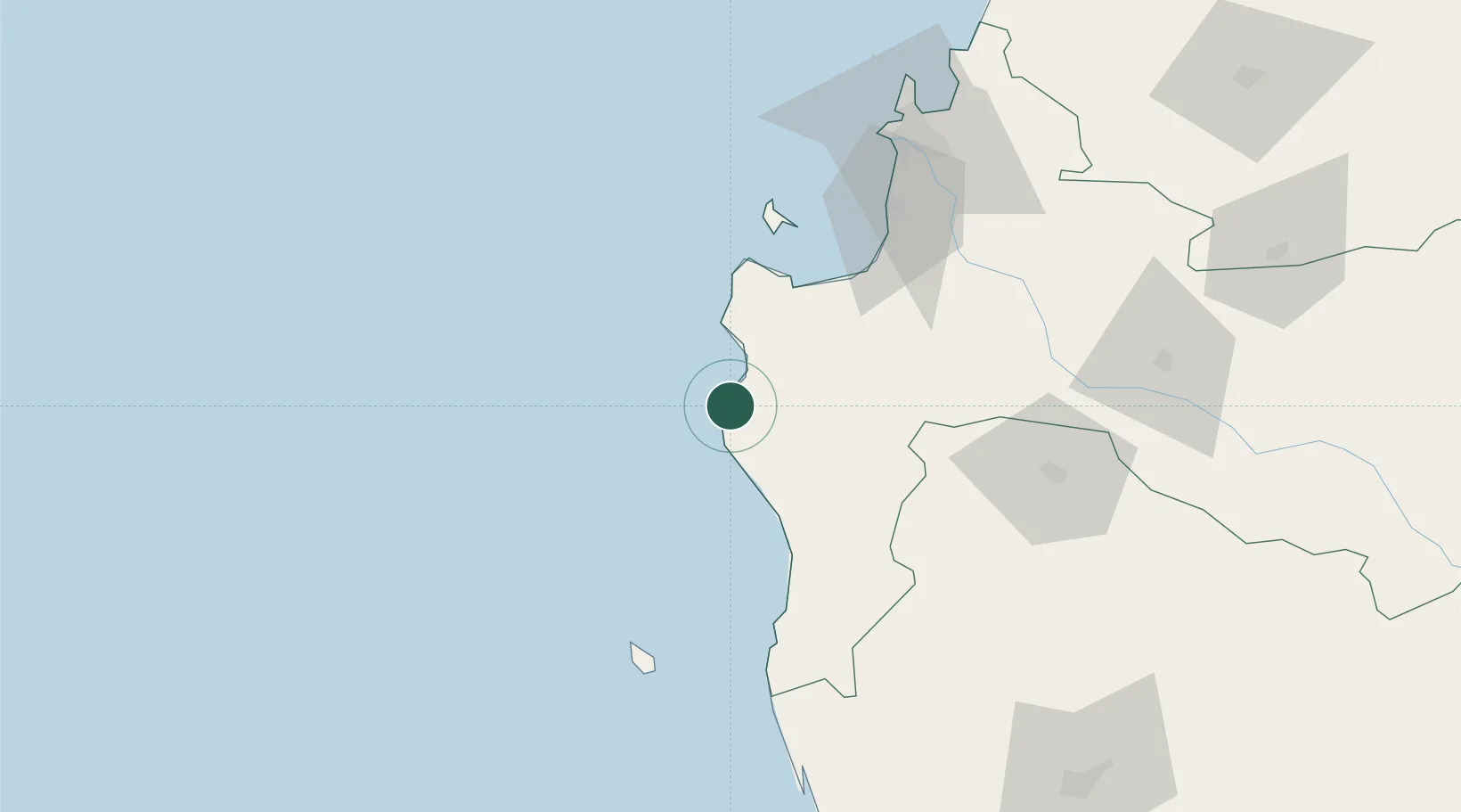
Place type
Provincial seat
Region
Biobío
Population
22,345
Time zone
America/Santiago
Elevation
12 m
Location
Nearby Logistics Neighbours
Ports
- 1Lota71 km
- 2Coronel76 km
- 3Bahia San Vicente106 km
- 4Talcahuano111 km
- 5Penco114 km
Airports
- 1Carriel Sur International Airport106 km
- 2Victoria Airport135 km
- 3Maquehue Airport157 km
- 4La Araucanía International Airport171 km
- 5Gral. Bernardo O´Higgins Airport183 km
Trade Zones
DatabookThe Record of Consolidated Knowledge
Chile beyond logistics?