Transport Functions
Port
Road
Hub Profile
Place type
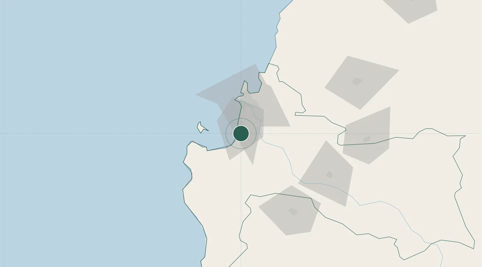
Populated place
Region
Biobío
Population
47,339
Time zone
America/Santiago
Elevation
14 m
Location
Nearby Logistics Neighbours
Cities
- 1Coronel9 km
- 2Chiguayante22 km
- 3Arauco24 km
- 4Concepción31 km
- 5Talcahuano38 km
Ports
- 1Coronel6 km
- 2Bahia San Vicente39 km
- 3Talcahuano43 km
- 4Penco43 km
- 5Lirquen43 km
Airports
- 1Carriel Sur International Airport35 km
- 2Gral. Bernardo O´Higgins Airport114 km
- 3Victoria Airport147 km
- 4Maquehue Airport193 km
- 5La Araucanía International Airport210 km
Trade Zones
DatabookThe Record of Consolidated Knowledge
Chile beyond logistics?