Transport Functions
Port
Road
Hub Profile
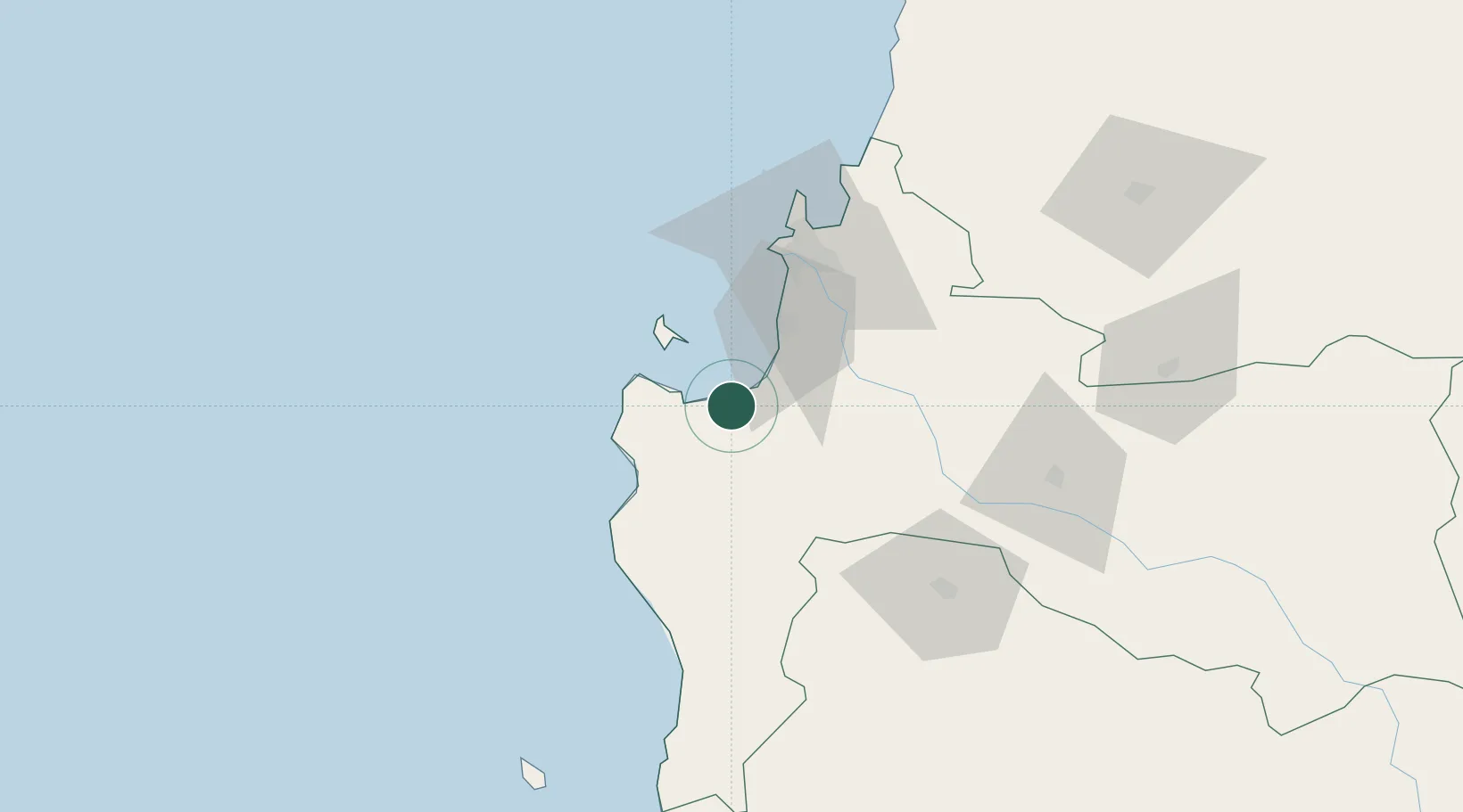
Place type
Populated place
Region
Biobío
Population
24,659
Time zone
America/Santiago
Elevation
13 m
Location
Nearby Logistics Neighbours
Cities
- 1Llico23 km
- 2Lota24 km
- 3Coronel31 km
- 4Chiguayante46 km
- 5Lebu49 km
Ports
- 1Lota22 km
- 2Coronel28 km
- 3Bahia San Vicente59 km
- 4Talcahuano64 km
- 5Penco66 km
Airports
- 1Carriel Sur International Airport58 km
- 2Gral. Bernardo O´Higgins Airport136 km
- 3Victoria Airport140 km
- 4Maquehue Airport179 km
- 5La Araucanía International Airport195 km
Trade Zones
DatabookThe Record of Consolidated Knowledge
Chile beyond logistics?