Medium airport · Chile

Gral. Bernardo O´Higgins AirportSCCH
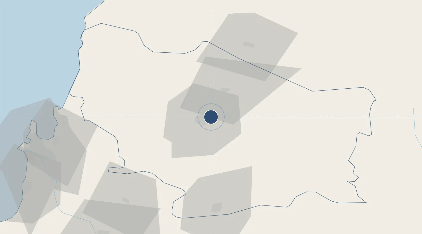
-36.5825°, -72.0314°
5,740 ft
Longest runway
1
Runways
495 ft
Elevation

Runway & Layout

Gral. Bernardo O´Higgins Airport runway & taxiway layout
Runway & taxiway layout — OpenStreetMap (ODbL) / OurAirports

Radio Frequencies

INFO
127.7 MHz
CHILLAN INFO
OurAirports

Navaids

CHI VOR-DME Chillan 115.90 MHz
CHI NDB Chillan 411 kHz
OurAirports

Runways · 1

RunwayDimensions SurfaceTrue headingLit
04/22 5,740 × 98ft Asphalt 045°
OurAirports

Airport Specifications

IATA code
YAI
OurAirports
ICAO code
SCCH
OurAirports
Airport class
Medium airport
OurAirports
Scheduled service
No
OurAirports
Runway surface
Asphalt
OurAirports
Served city
Chillan
OurAirports

Location

Location of SCCH
Natural Earth 10m (public domain) · Ñuble · SCCH · -36.58, -72.03GoogleOSMYandex

Nearby Logistics Neighbours

Airports
  1. 1Carriel Sur International Airport94 km
  2. 2Panguilemo Airport139 km
  3. 3Victoria Airport187 km
  4. 4Maquehue Airport249 km
  5. 5Comodoro D.R. Salomón Airport252 km
Nearest neighbours — logibook spatial index (haversine) over the source coordinates
Cities
  1. 1Chillán6 km
  2. 2San Carlos19 km
  3. 3Nueva Aldea38 km
  4. 4Ñiquén39 km
  5. 5Cabrero60 km
Nearest neighbours — logibook spatial index (haversine) over the source coordinates
Ports
  1. 1Lirquen86 km
  2. 2Penco88 km
  3. 3Talcahuano96 km
  4. 4Bahia San Vicente103 km
  5. 5Coronel113 km
Nearest neighbours — logibook spatial index (haversine) over the source coordinates
Trade Zones
  1. 1Zona Franca Zapala (Zapala Free Trade Zone)306 km
  2. 2Zona Franca Mendoza Free Trade Zone480 km
  3. 3Zona Franca de San Luis693 km
  4. 4Justo Daract Free Trade Zone693 km
  5. 5General Pico Free Zone747 km
Nearest neighbours — logibook spatial index (haversine) over the source coordinates
DatabookThe Record of Consolidated Knowledge
Chile beyond logistics?
Browse databook

All Sources

AirportsOurAirports
Public domain
Portsthe NGA World Port Index
Public domain (US gov)
LocationsUN/LOCODE
UN/LOCODE — free
Trade Zonesthe World Bank SEZ database
CC BY 4.0
Trade ZonesOpen Zone Map
CC BY
InfrastructureOpenStreetMap
ODbL 1.0
← Chile airports