UN/LOCODE hub · Chile
CLCNL
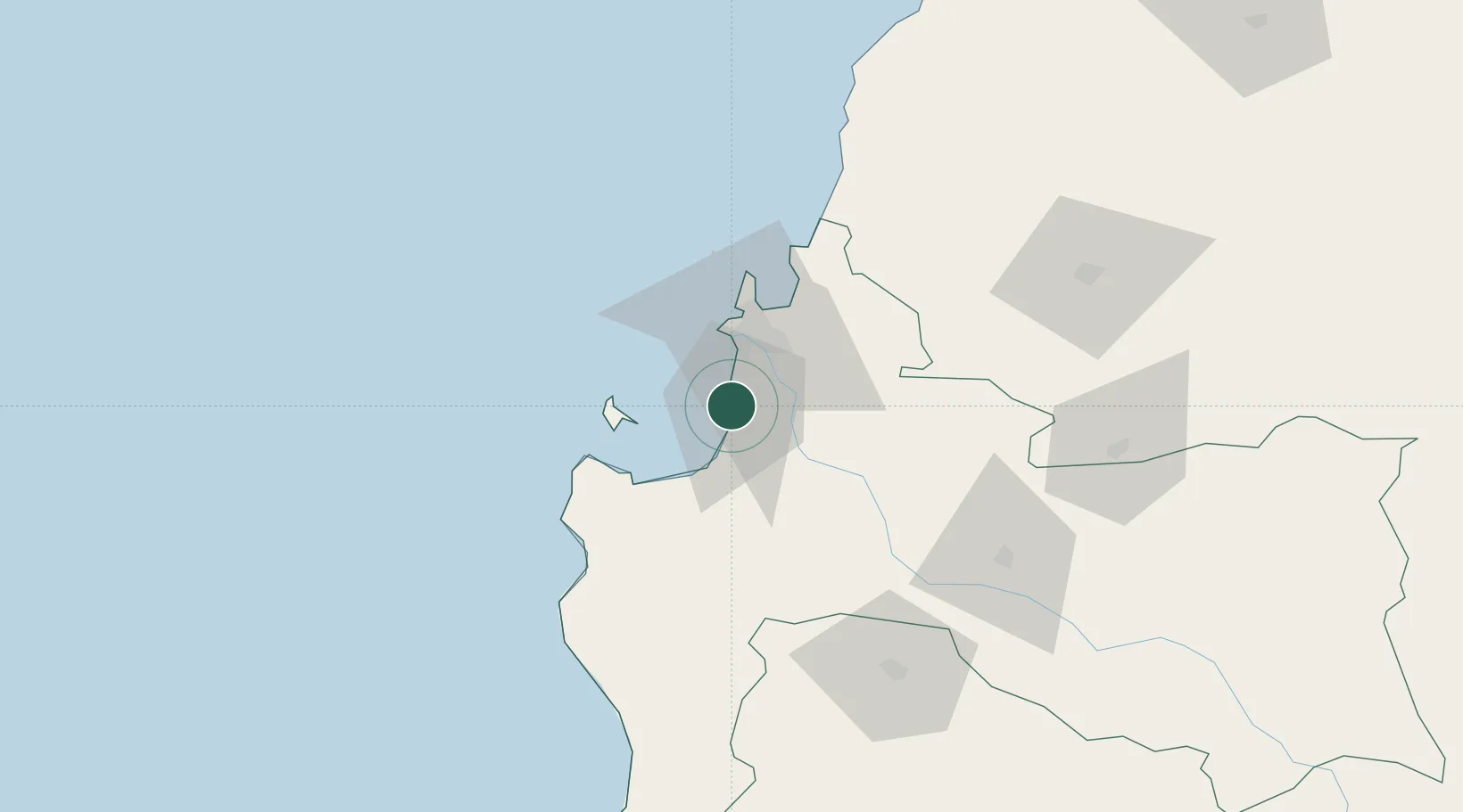
Coronel
-37.0047°, -73.1633°
107,759
Population
3
Transport functions
1
Container terminals
Transport Functions
Port
Rail
Road
Hub Profile
Place type
Populated place
Region
Biobío
Population
107,759
Time zone
America/Santiago
Elevation
11 m
Logistics facilities
4
Container terminals
1
Location
Nearby Logistics Neighbours
Cities
- 1Lota9 km
- 2Chiguayante16 km
- 3Concepción23 km
- 4Talcahuano30 km
- 5Arauco31 km
Ports
- 1Lota11 km
- 2Bahia San Vicente30 km
- 3Talcahuano34 km
- 4Penco35 km
- 5Lirquen36 km
Airports
- 1Carriel Sur International Airport27 km
- 2Gral. Bernardo O´Higgins Airport111 km
- 3Victoria Airport156 km
- 4Maquehue Airport201 km
- 5La Araucanía International Airport218 km
Trade Zones
DatabookThe Record of Consolidated Knowledge
Chile beyond logistics?