Transport Functions
Port
Road
Hub Profile
Place type
Urban district
Region
Biobío
Time zone
America/Santiago
Elevation
11 m
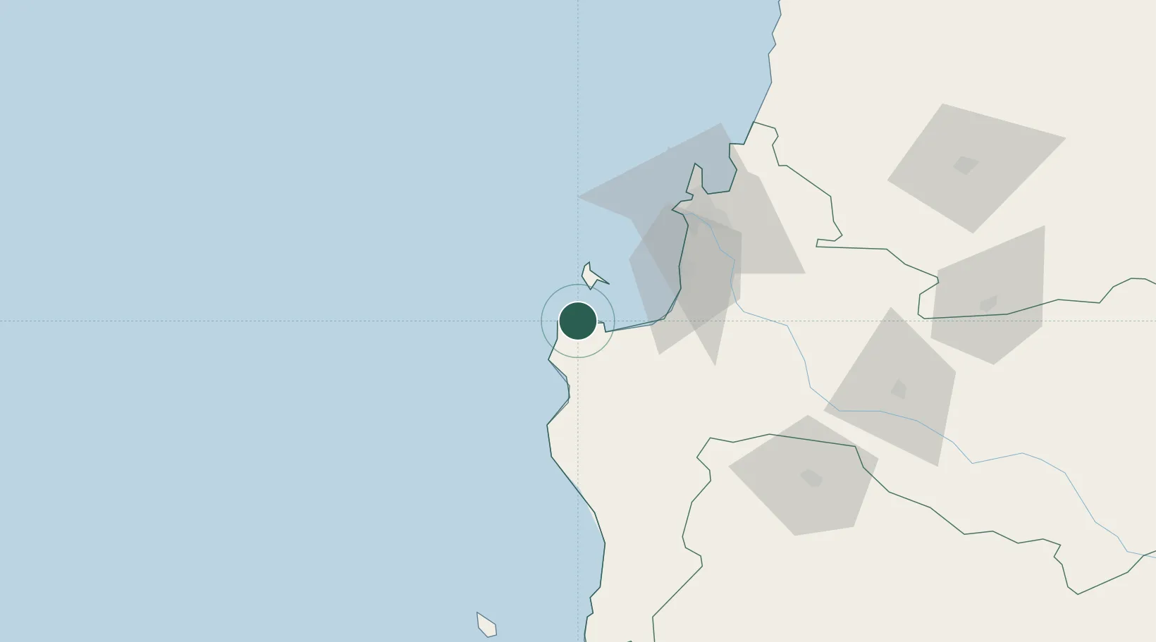
Location
Nearby Logistics Neighbours
Cities
- 1Arauco23 km
- 2Lota39 km
- 3Coronel42 km
- 4Lebu45 km
- 5Chiguayante58 km
Ports
- 1Lota39 km
- 2Coronel40 km
- 3Bahia San Vicente63 km
- 4Talcahuano69 km
- 5Penco74 km
Airports
- 1Carriel Sur International Airport65 km
- 2Gral. Bernardo O´Higgins Airport153 km
- 3Victoria Airport158 km
- 4Maquehue Airport192 km
- 5La Araucanía International Airport208 km
Trade Zones
DatabookThe Record of Consolidated Knowledge
Chile beyond logistics?