Export Processing Zone · Mali
Koutiala Industrial Zone Active
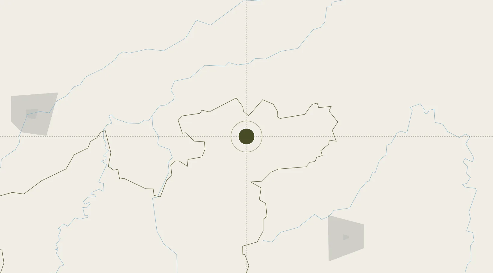
12.3633°, -5.4585°
100 ha
Zone area
806.7 km
Nearest port
92.8 km
Nearest airport
Gateway access
Zone profile
Zone type
Export Processing Zone
Region
Sikasso
Status
Active
Management
Public
Operator
Government of Mali
Legal framework
Law No. 2012-01-6 of 27 February 20/2
Location
Nearby Logistics Neighbours
Ports
- 1Abidjan807 km
- 2Port Bouet810 km
- 3Espoir Marine Terminal821 km
- 4Baobab Marine Terminal829 km
- 5San Pedro857 km
Airports
- 1Sikasso (Dignangan) Airport93 km
- 2Bobo Dioulasso Airport182 km
- 3Modibo Keita International Airport271 km
- 4Mopti Airport282 km
- 5Korhogo Airport331 km
Cities
- 1Bérégadougou194 km
- 2Dialakorobougou218 km
- 3Koudougou336 km
- 4Guiembé349 km
- 5Ziniaré452 km
Trade Zones
- 1Ouélessebougou Industrial Zone0 km
- 2Sikasso Industrial Zone118 km
- 3Ségou Industrial Zone149 km
- 4Fana Industrial Zone170 km
- 5Koulikoro Industrial Zone234 km
DatabookThe Record of Consolidated Knowledge
Mali beyond logistics?