Export Processing Zone · Mali
Sikasso Industrial Zone Active
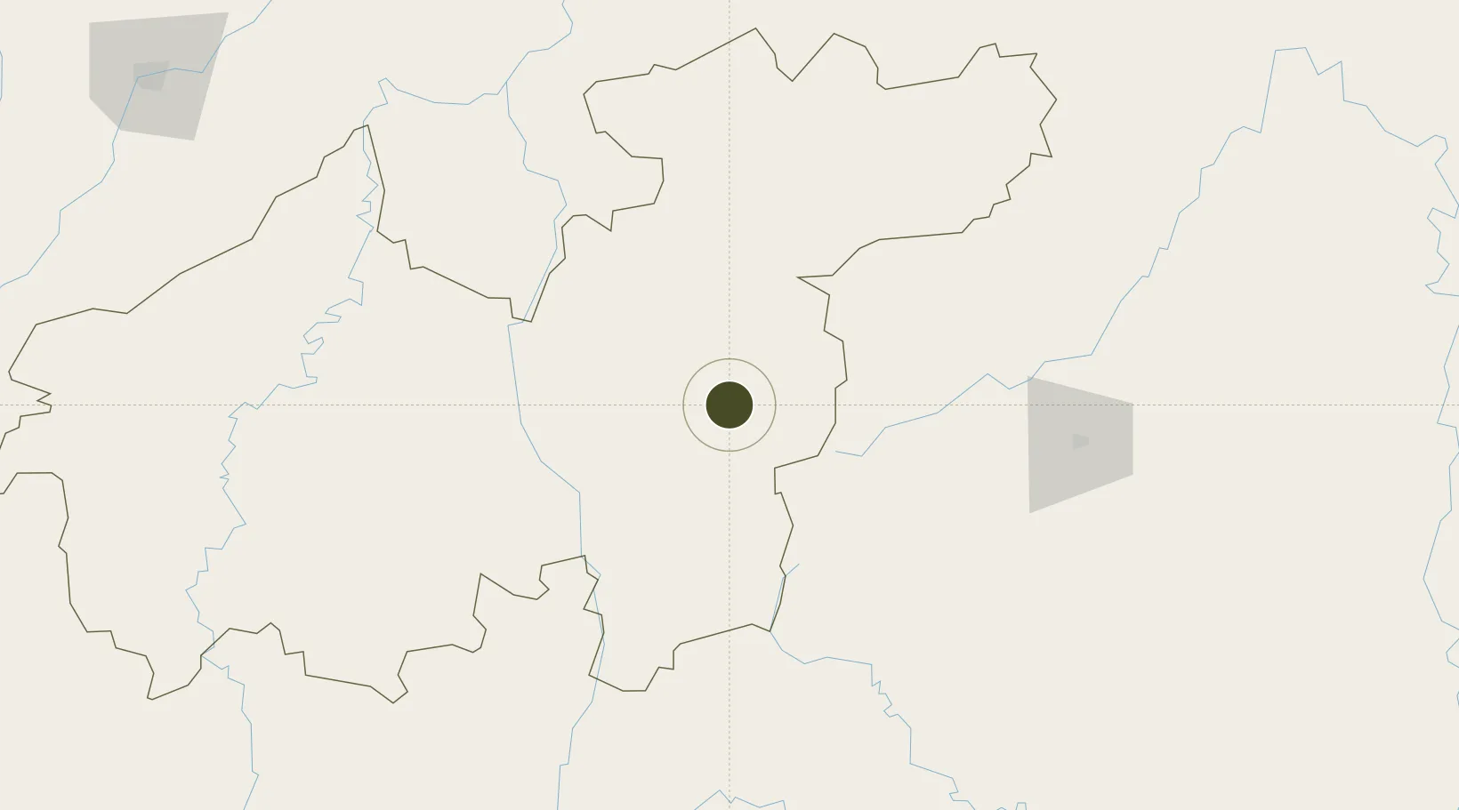
11.3230°, -5.6832°
100 ha
Zone area
699.7 km
Nearest port
33.1 km
Nearest airport
Gateway access
Zone profile
Zone type
Export Processing Zone
Region
Sikasso
Status
Active
Management
Public
Operator
Government of Mali, Government of Côte d’Ivoire, Burkina Faso
Legal framework
Law No. 2019-040 of July 24, 2019 regarding the Creation, Organization & Control of Zones in the Republic of Mali
Location
Nearby Logistics Neighbours
Ports
- 1Abidjan700 km
- 2Port Bouet703 km
- 3Espoir Marine Terminal711 km
- 4Baobab Marine Terminal718 km
- 5San Pedro739 km
Airports
- 1Sikasso (Dignangan) Airport33 km
- 2Bobo Dioulasso Airport149 km
- 3Korhogo Airport216 km
- 4Modibo Keita International Airport281 km
- 5Mopti Airport395 km
Cities
- 1Bérégadougou119 km
- 2Guiembé232 km
- 3Dialakorobougou250 km
- 4Koudougou375 km
- 5Kosagi435 km
Trade Zones
- 1Koutiala Industrial Zone118 km
- 2Ouélessebougou Industrial Zone118 km
- 3Fana Industrial Zone213 km
- 4Ségou Industrial Zone242 km
- 5Koulikoro Industrial Zone267 km
DatabookThe Record of Consolidated Knowledge
Mali beyond logistics?