Transport Functions
Road
Multimodal
Hub Profile
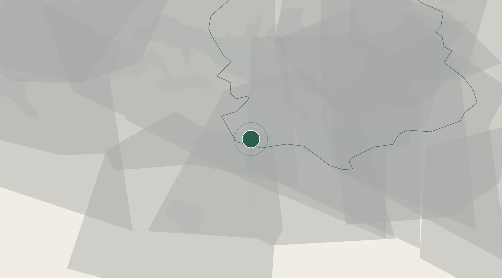
Place type
Populated place
Region
Zurich
Population
1,077
Time zone
Europe/Zurich
Elevation
431 m
Location
Nearby Logistics Neighbours
Cities
- 1Steinhausen4 km
- 2Aeugst am Albis5 km
- 3Cham6 km
- 4Merenschwand7 km
- 5Jonen8 km
Ports
- 1Genova317 km
- 2Savona324 km
- 3Rada Di Vado330 km
- 4Chiavari - Lavagna333 km
- 5La Spezia365 km
Airports
- 1Emmen Air Base19 km
- 2Dübendorf Air Base24 km
- 3Zürich Airport26 km
- 4Alpnach Air Base35 km
- 5Grenchen Airfield78 km
Trade Zones
- 1ZFU Mulhouse101 km
- 2ZFU Montbéliard129 km
- 3ZFU Belfort132 km
- 4Livigno Free Trade Zone148 km
- 5ZFU Neuhof154 km
DatabookThe Record of Consolidated Knowledge
Switzerland beyond logistics?