Transport Functions
Port
Rail
Road
Hub Profile
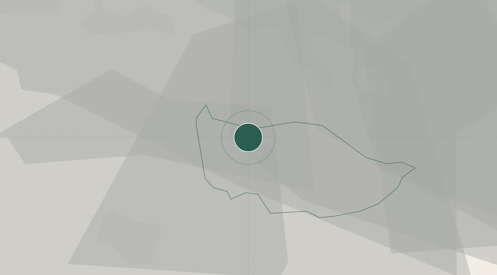
Place type
Populated place
Region
Zug
Population
8,509
Time zone
Europe/Zurich
Elevation
425 m
Location
Nearby Logistics Neighbours
Cities
- 1Cham2 km
- 2Knonau4 km
- 3Aeugst am Albis8 km
- 4Sihlbrugg Dorf8 km
- 5Rotkreuz8 km
Ports
- 1Genova314 km
- 2Savona321 km
- 3Rada Di Vado326 km
- 4Chiavari - Lavagna329 km
- 5La Spezia361 km
Airports
- 1Emmen Air Base17 km
- 2Dübendorf Air Base26 km
- 3Zürich Airport29 km
- 4Alpnach Air Base32 km
- 5Grenchen Airfield79 km
Trade Zones
- 1ZFU Mulhouse105 km
- 2ZFU Montbéliard131 km
- 3ZFU Belfort134 km
- 4Livigno Free Trade Zone145 km
- 5PESA - Port-Franc et Entrepôts de Lausanne-Chavornay SA154 km
DatabookThe Record of Consolidated Knowledge
Switzerland beyond logistics?