UN/LOCODE hub · Switzerland
CHWLN
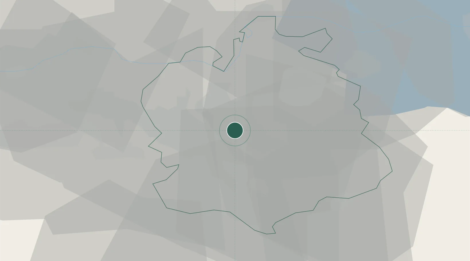
Wallisellen
47.4167°, 8.5833°
11,705
Population
2
Transport functions
Transport Functions
Rail
Road
Hub Profile
Place type
Populated place
Region
Zurich
Population
11,705
Time zone
Europe/Zurich
Elevation
462 m
Location
Nearby Logistics Neighbours
Cities
- 1Glattbrugg3 km
- 2Dübendorf3 km
- 3Brüttisellen4 km
- 4Bassersdorf4 km
- 5Rümlang5 km
Ports
- 1Genova337 km
- 2Savona345 km
- 3Rada Di Vado351 km
- 4Chiavari - Lavagna351 km
- 5Porto Di Lido-Venezia370 km
Airports
- 1Dübendorf Air Base5 km
- 2Zürich Airport5 km
- 3Emmen Air Base42 km
- 4Alpnach Air Base57 km
- 5Donaueschingen-Villingen Airfield62 km
Trade Zones
- 1ZFU Mulhouse101 km
- 2ZFU Montbéliard135 km
- 3ZFU Belfort136 km
- 4ZFU Neuhof139 km
- 5ZFU Hautepierre147 km
DatabookThe Record of Consolidated Knowledge
Switzerland beyond logistics?