Transport Functions
Rail
Road
Hub Profile
Place type
Urban district
Region
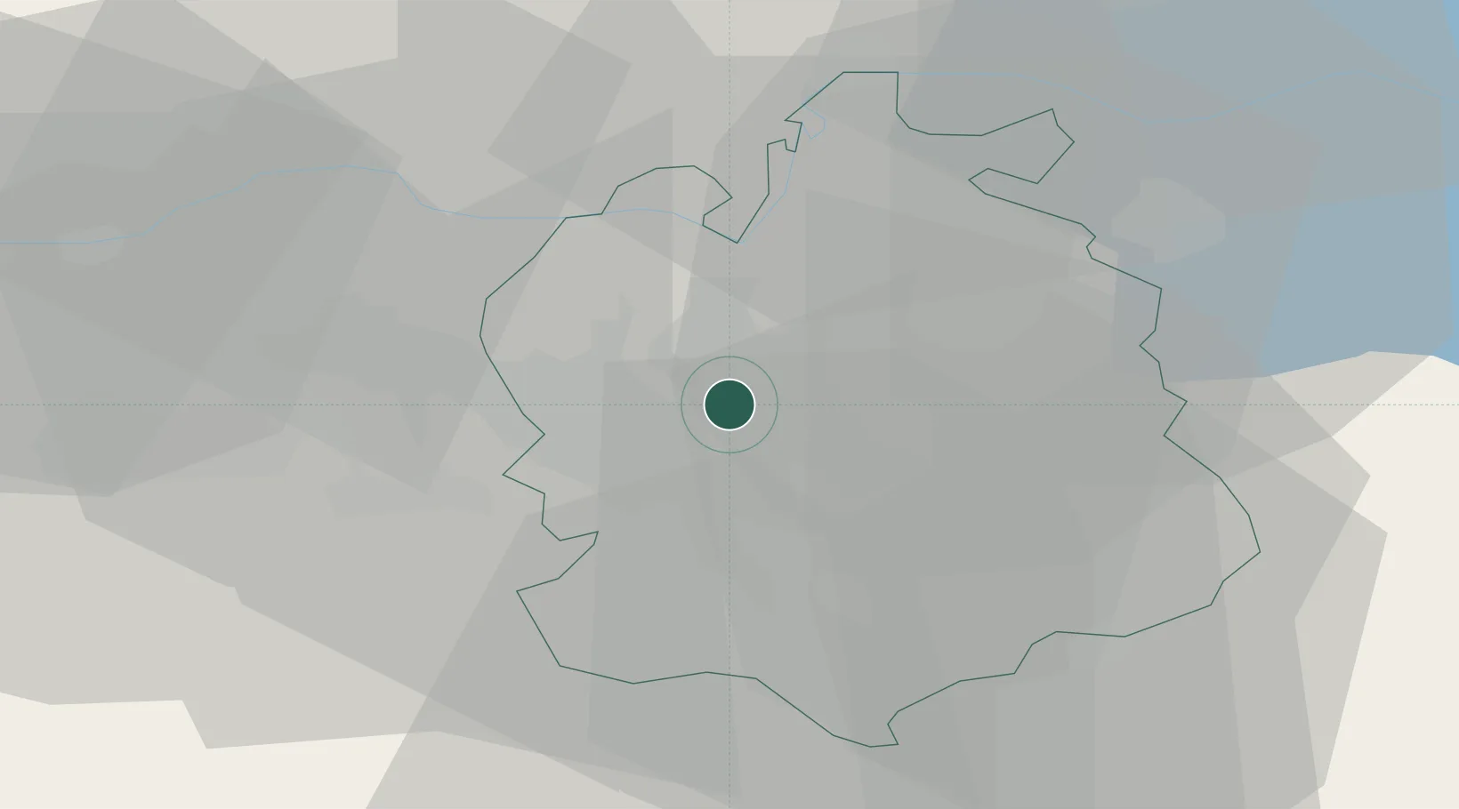
Zurich
Population
2,642
Time zone
Europe/Zurich
Elevation
431 m
Location
Nearby Logistics Neighbours
Cities
- 1Rümlang2 km
- 2Wallisellen3 km
- 3Dübendorf6 km
- 4Bassersdorf6 km
- 5Brüttisellen7 km
Ports
- 1Genova339 km
- 2Savona347 km
- 3Rada Di Vado352 km
- 4Chiavari - Lavagna353 km
- 5Porto Di Lido-Venezia373 km
Airports
- 1Zürich Airport3 km
- 2Dübendorf Air Base8 km
- 3Emmen Air Base42 km
- 4Alpnach Air Base58 km
- 5Donaueschingen-Villingen Airfield60 km
Trade Zones
- 1ZFU Mulhouse98 km
- 2ZFU Montbéliard133 km
- 3ZFU Belfort133 km
- 4ZFU Neuhof136 km
- 5ZFU Hautepierre144 km
DatabookThe Record of Consolidated Knowledge
Switzerland beyond logistics?