UN/LOCODE hub · Switzerland
CHBTL
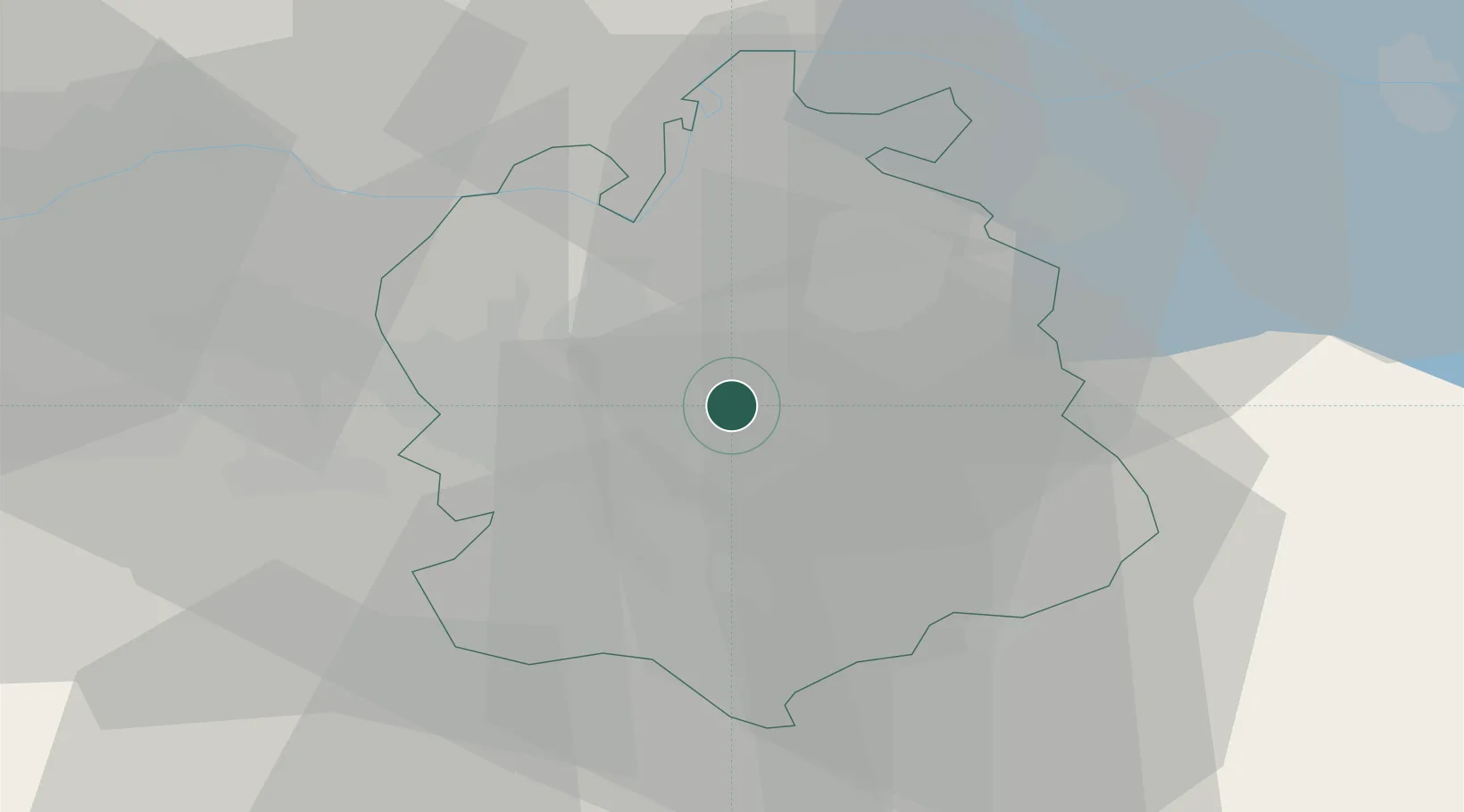
Brüttisellen
47.4167°, 8.6333°
3,697
Population
2
Transport functions
Transport Functions
Road
Multimodal
Hub Profile
Place type
Populated place
Region
Zurich
Population
3,697
Time zone
Europe/Zurich
Elevation
452 m
Location
Nearby Logistics Neighbours
Cities
- 1Bassersdorf2 km
- 2Dübendorf2 km
- 3Wallisellen4 km
- 4Tagelswangen4 km
- 5Brutten6 km
Ports
- 1Genova336 km
- 2Savona345 km
- 3Chiavari - Lavagna350 km
- 4Rada Di Vado351 km
- 5Porto Di Lido-Venezia366 km
Airports
- 1Dübendorf Air Base2 km
- 2Zürich Airport8 km
- 3Emmen Air Base44 km
- 4Alpnach Air Base59 km
- 5Donaueschingen-Villingen Airfield63 km
Trade Zones
- 1ZFU Mulhouse104 km
- 2ZFU Montbéliard139 km
- 3ZFU Belfort140 km
- 4ZFU Neuhof141 km
- 5Livigno Free Trade Zone148 km
DatabookThe Record of Consolidated Knowledge
Switzerland beyond logistics?