Transport Functions
Rail
Road
Hub Profile
Place type
Populated place
Region
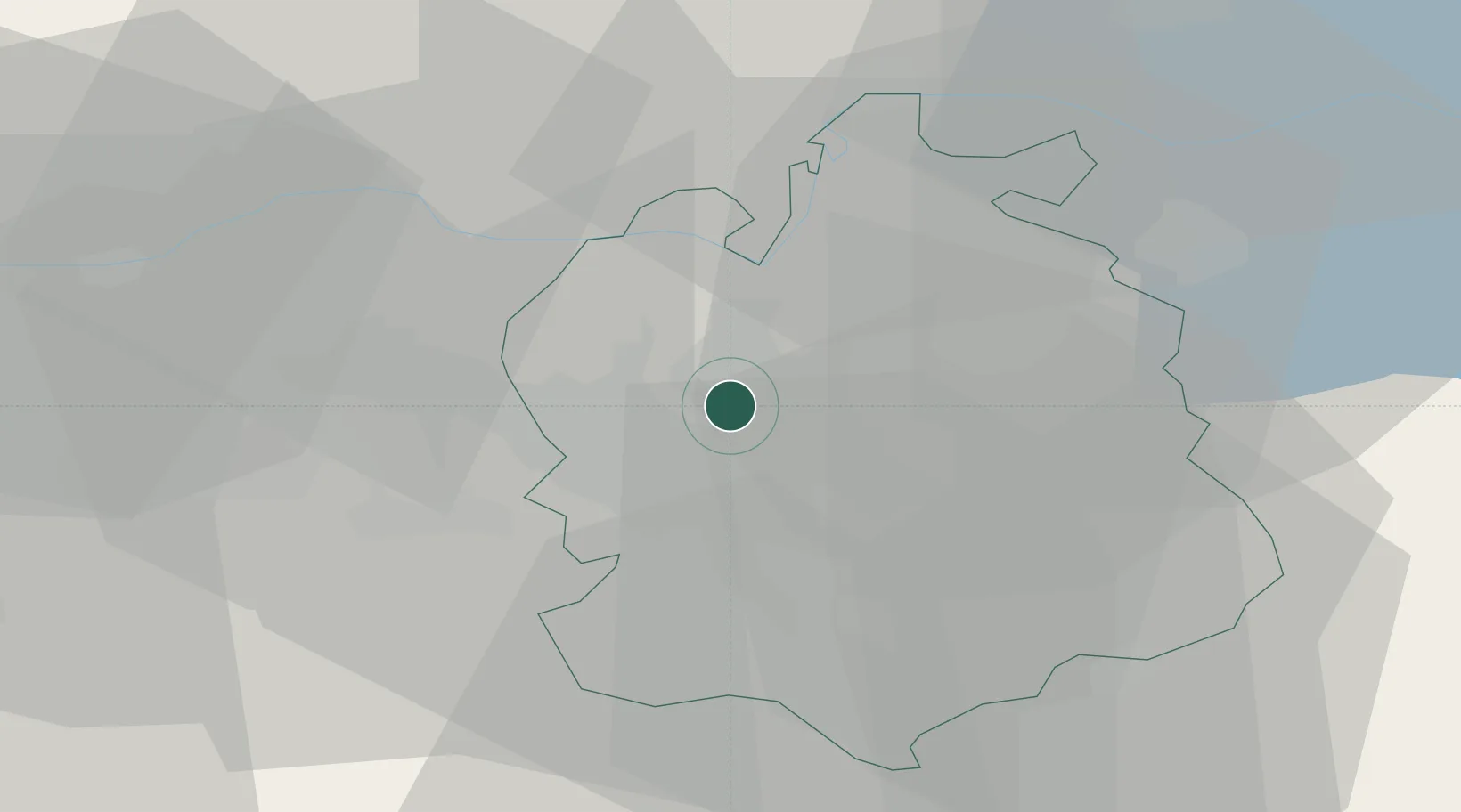
Zurich
Population
5,144
Time zone
Europe/Zurich
Elevation
448 m
Location
Nearby Logistics Neighbours
Cities
- 1Glattbrugg2 km
- 2Oberglatt5 km
- 3Niederhasli5 km
- 4Wallisellen5 km
- 5Bülach7 km
Ports
- 1Genova341 km
- 2Savona348 km
- 3Rada Di Vado354 km
- 4Chiavari - Lavagna355 km
- 5Porto Di Lido-Venezia375 km
Airports
- 1Zürich Airport1 km
- 2Dübendorf Air Base10 km
- 3Emmen Air Base43 km
- 4Donaueschingen-Villingen Airfield58 km
- 5Alpnach Air Base59 km
Trade Zones
- 1ZFU Mulhouse96 km
- 2ZFU Montbéliard131 km
- 3ZFU Belfort131 km
- 4ZFU Neuhof134 km
- 5ZFU Hautepierre142 km
DatabookThe Record of Consolidated Knowledge
Switzerland beyond logistics?