Transport Functions
Rail
Road
Hub Profile
Place type
Populated place
Region
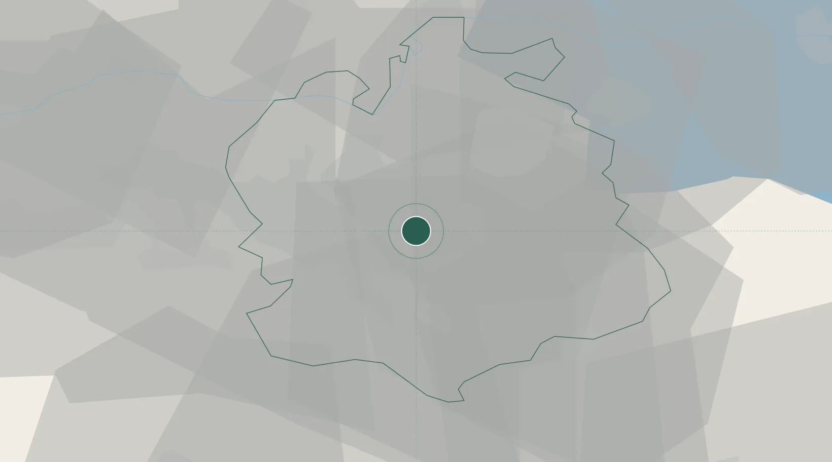
Zurich
Population
19,882
Time zone
Europe/Zurich
Elevation
436 m
Location
Nearby Logistics Neighbours
Cities
- 1Brüttisellen2 km
- 2Wallisellen3 km
- 3Bassersdorf4 km
- 4Tagelswangen6 km
- 5Glattbrugg6 km
Ports
- 1Genova335 km
- 2Savona343 km
- 3Chiavari - Lavagna349 km
- 4Rada Di Vado349 km
- 5Porto Di Lido-Venezia366 km
Airports
- 1Dübendorf Air Base2 km
- 2Zürich Airport8 km
- 3Emmen Air Base42 km
- 4Alpnach Air Base57 km
- 5Donaueschingen-Villingen Airfield64 km
Trade Zones
- 1ZFU Mulhouse104 km
- 2ZFU Montbéliard138 km
- 3ZFU Belfort139 km
- 4ZFU Neuhof142 km
- 5Livigno Free Trade Zone148 km
DatabookThe Record of Consolidated Knowledge
Switzerland beyond logistics?