Transport Functions
Rail
Road
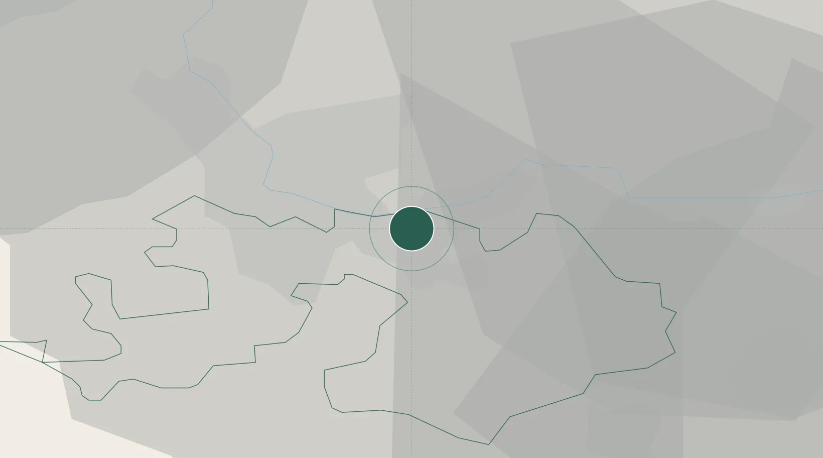
Hub Profile
Place type
Populated place
Region
Aargau
Population
3,600
Time zone
Europe/Zurich
Elevation
268 m
Location
Nearby Logistics Neighbours
Cities
- 1Frenkendorf2 km
- 2Füllinsdorf4 km
- 3Schweizerhalle4 km
- 4Liestal6 km
- 5Freidorf6 km
Ports
- 1Genova361 km
- 2Savona363 km
- 3Rada Di Vado368 km
- 4Chiavari - Lavagna380 km
- 5Imperia407 km
Airports
- 1EuroAirport Basel–Mulhouse–Freiburg17 km
- 2Grenchen Airfield45 km
- 3Zürich Airport63 km
- 4Emmen Air Base66 km
- 5Colmar Houssen airport69 km
Trade Zones
- 1ZFU Mulhouse37 km
- 2ZFU Belfort69 km
- 3ZFU Montbéliard70 km
- 4ZFU Neuhof112 km
- 5ZFU Hautepierre118 km
DatabookThe Record of Consolidated Knowledge
Switzerland beyond logistics?