Transport Functions
Rail
Road
Hub Profile
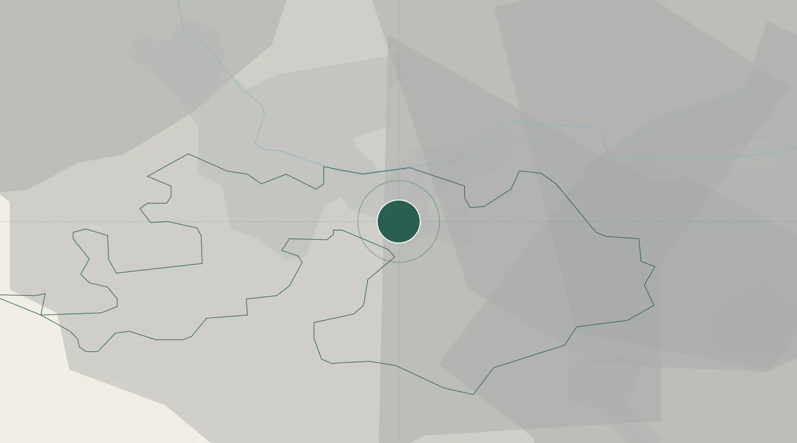
Place type
Populated place
Region
Basel-Landschaft
Population
4,442
Time zone
Europe/Zurich
Elevation
348 m
Location
Nearby Logistics Neighbours
Cities
- 1Frenkendorf2 km
- 2Liestal2 km
- 3Kaiseraugst4 km
- 4Schweizerhalle5 km
- 5Itingen6 km
Ports
- 1Genova357 km
- 2Savona359 km
- 3Rada Di Vado364 km
- 4Chiavari - Lavagna376 km
- 5Imperia403 km
Airports
- 1EuroAirport Basel–Mulhouse–Freiburg19 km
- 2Grenchen Airfield42 km
- 3Zürich Airport63 km
- 4Emmen Air Base63 km
- 5Bern Airport67 km
Trade Zones
- 1ZFU Mulhouse40 km
- 2ZFU Montbéliard70 km
- 3ZFU Belfort70 km
- 4ZFU Neuhof116 km
- 5ZFU Hautepierre122 km
DatabookThe Record of Consolidated Knowledge
Switzerland beyond logistics?