Transport Functions
Rail
Road
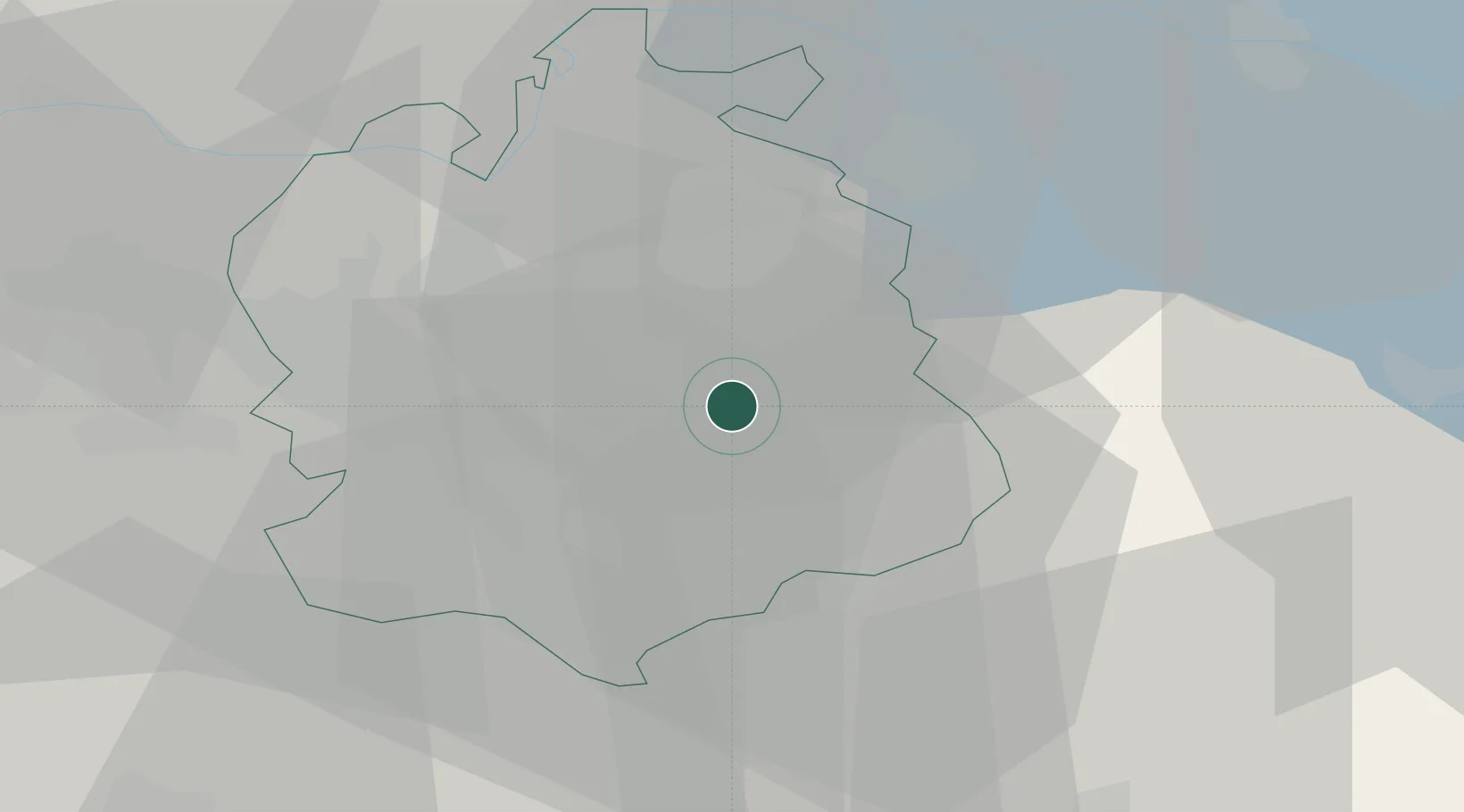
Hub Profile
Place type
Populated place
Region
Zurich
Population
3,767
Time zone
Europe/Zurich
Elevation
531 m
Location
Nearby Logistics Neighbours
Cities
- 1Volketswil5 km
- 2Seegraeben6 km
- 3Uster7 km
- 4Tagelswangen8 km
- 5Kollbrunn8 km
Ports
- 1Genova332 km
- 2Savona342 km
- 3Chiavari - Lavagna345 km
- 4Rada Di Vado348 km
- 5Porto Di Lido-Venezia357 km
Airports
- 1Dübendorf Air Base8 km
- 2Zürich Airport17 km
- 3Emmen Air Base47 km
- 4Alpnach Air Base60 km
- 5Sankt Gallen Altenrhein Airport62 km
Trade Zones
- 1ZFU Mulhouse114 km
- 2Livigno Free Trade Zone139 km
- 3ZFU Neuhof148 km
- 4ZFU Montbéliard148 km
- 5ZFU Belfort149 km
DatabookThe Record of Consolidated Knowledge
Switzerland beyond logistics?