Transport Functions
Multimodal
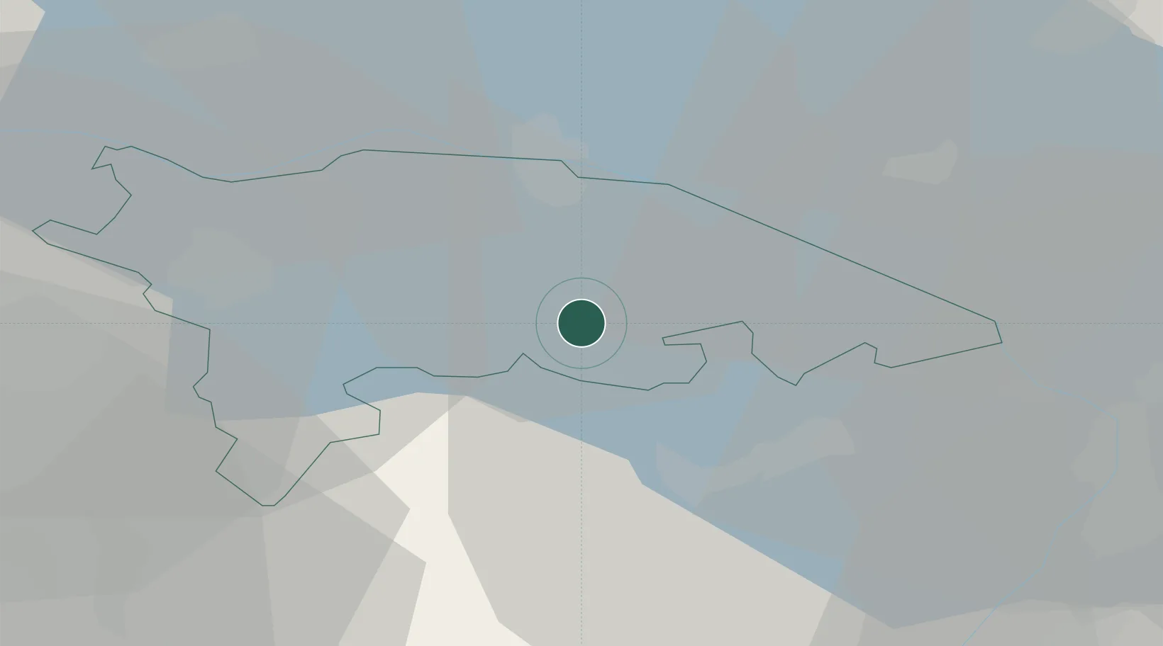
Hub Profile
Place type
Populated place
Region
Thurgau
Time zone
Europe/Zurich
Elevation
451 m
Location
Nearby Logistics Neighbours
Cities
- 1Erlen3 km
- 2Sitterdorf5 km
- 3Oberaach5 km
- 4Amriswil8 km
- 5Oberbüren10 km
Ports
- 1Porto Di Lido-Venezia342 km
- 2Porto Di Chioggia349 km
- 3Genova349 km
- 4Chiavari - Lavagna359 km
- 5Nogaro361 km
Airports
Trade Zones
- 1Livigno Free Trade Zone131 km
- 2ZFU Mulhouse142 km
- 3ZFU Neuhof155 km
- 4ZFU Hautepierre163 km
- 5ZFU Belfort180 km
DatabookThe Record of Consolidated Knowledge
Switzerland beyond logistics?