Transport Functions
Rail
Road
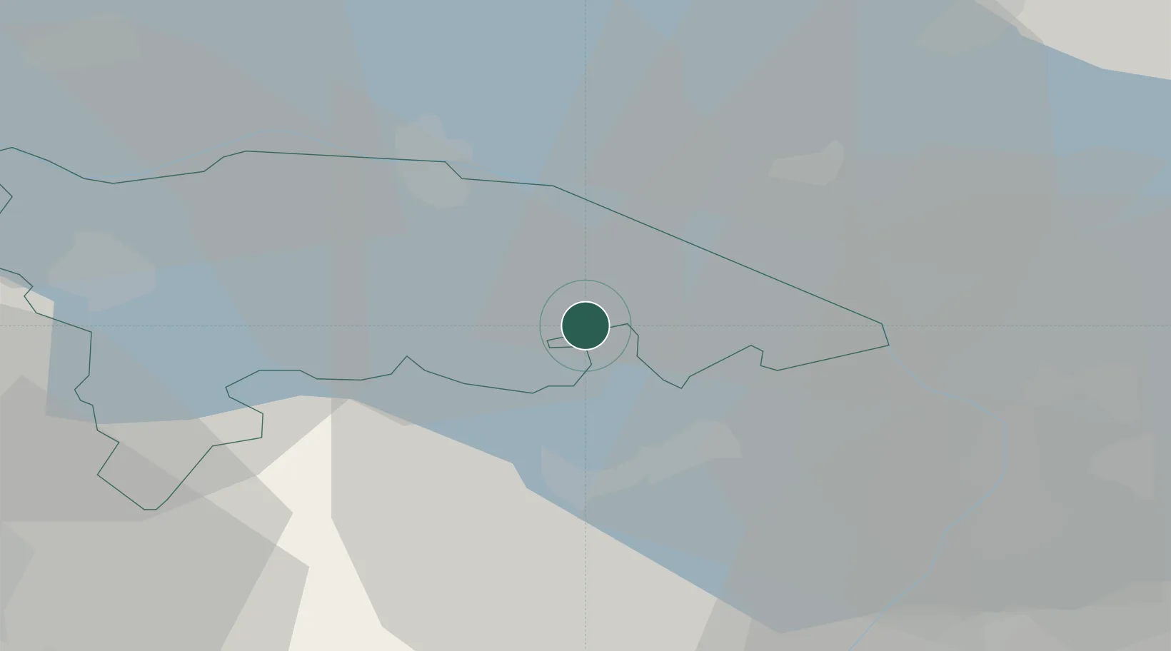
Hub Profile
Place type
Populated place
Region
Thurgau
Population
11,351
Time zone
Europe/Zurich
Elevation
451 m
Location
Nearby Logistics Neighbours
Cities
- 1Oberaach3 km
- 2Sitterdorf5 km
- 3Erlen5 km
- 4Uttwil6 km
- 5Romanshorn7 km
Ports
- 1Porto Di Lido-Venezia336 km
- 2Porto Di Chioggia344 km
- 3Genova350 km
- 4Nogaro355 km
- 5Chiavari - Lavagna359 km
Airports
Trade Zones
- 1Livigno Free Trade Zone127 km
- 2ZFU Mulhouse149 km
- 3ZFU Neuhof160 km
- 4ZFU Hautepierre168 km
- 5ZFU Belfort187 km
DatabookThe Record of Consolidated Knowledge
Switzerland beyond logistics?