Transport Functions
Rail
Road
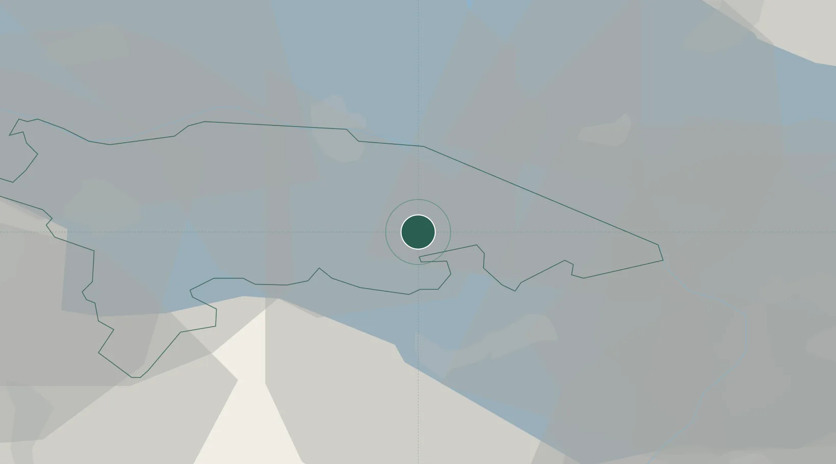
Hub Profile
Place type
Populated place
Region
Thurgau
Time zone
Europe/Zurich
Elevation
442 m
Location
Nearby Logistics Neighbours
Cities
- 1Erlen3 km
- 2Amriswil3 km
- 3Ennetaach5 km
- 4Güttingen6 km
- 5Sitterdorf6 km
Ports
- 1Porto Di Lido-Venezia339 km
- 2Porto Di Chioggia347 km
- 3Genova352 km
- 4Nogaro358 km
- 5Chiavari - Lavagna361 km
Airports
Trade Zones
- 1Livigno Free Trade Zone130 km
- 2ZFU Mulhouse146 km
- 3ZFU Neuhof157 km
- 4ZFU Hautepierre165 km
- 5ZFU Belfort185 km
DatabookThe Record of Consolidated Knowledge
Switzerland beyond logistics?