Transport Functions
Rail
Road
Hub Profile
Place type
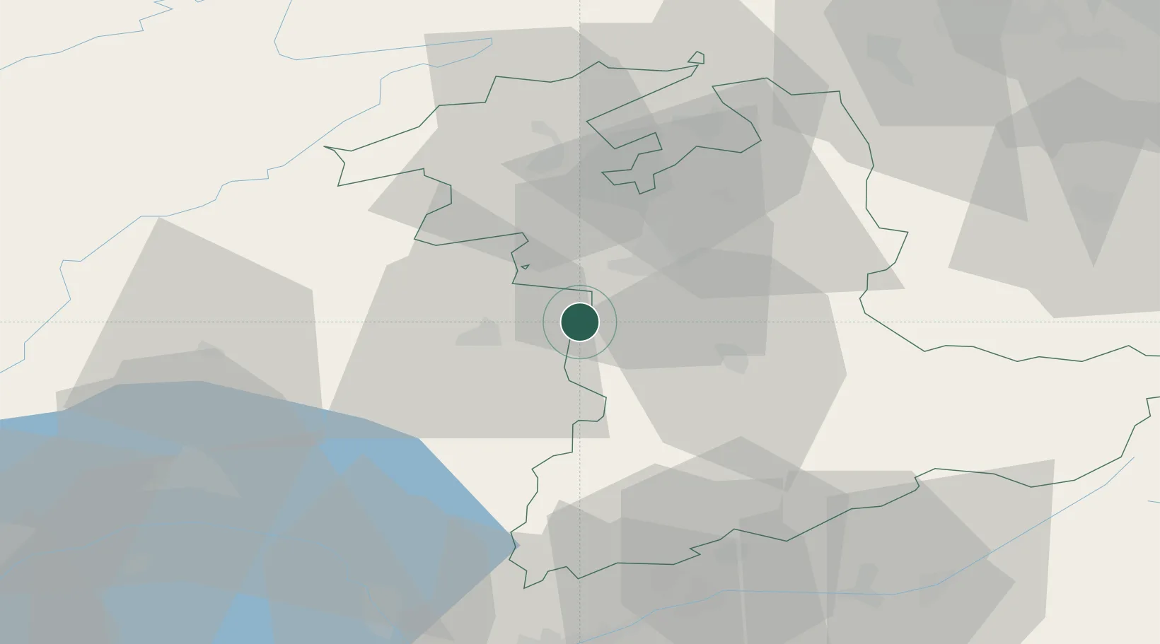
Populated place
Region
Bern
Time zone
Europe/Zurich
Elevation
794 m
Location
Nearby Logistics Neighbours
Cities
- 1Wünnewil-Flamatt6 km
- 2Thörishaus7 km
- 3Rüeggisberg8 km
- 4Neuenegg8 km
- 5Köniz11 km
Ports
- 1Savona294 km
- 2Genova298 km
- 3Rada Di Vado299 km
- 4Chiavari - Lavagna321 km
- 5Imperia333 km
Airports
- 1Bern Airport15 km
- 2Payerne Air Base32 km
- 3Grenchen Airfield39 km
- 4Les Eplatures Airport50 km
- 5Sion Airport68 km
Trade Zones
- 1PESA - Port-Franc et Entrepôts de Lausanne-Chavornay SA60 km
- 2Port Franc Vevey72 km
- 3ZFU Montbéliard85 km
- 4ZFU Belfort99 km
- 5ZFU Mulhouse102 km
DatabookThe Record of Consolidated Knowledge
Switzerland beyond logistics?