Transport Functions
Rail
Road
Hub Profile
Place type
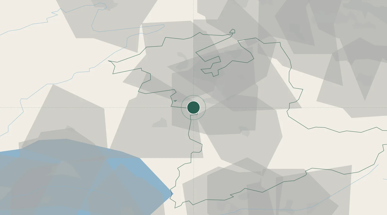
Populated place
Region
Bern
Time zone
Europe/Zurich
Elevation
582 m
Location
Nearby Logistics Neighbours
Cities
- 1Neuenegg4 km
- 2Köniz5 km
- 3Wünnewil-Flamatt6 km
- 4Schwarzenburg7 km
- 5Zimmerwald11 km
Ports
- 1Savona301 km
- 2Genova304 km
- 3Rada Di Vado306 km
- 4Chiavari - Lavagna328 km
- 5Imperia340 km
Airports
- 1Bern Airport13 km
- 2Grenchen Airfield32 km
- 3Payerne Air Base32 km
- 4Les Eplatures Airport46 km
- 5Alpnach Air Base72 km
Trade Zones
- 1PESA - Port-Franc et Entrepôts de Lausanne-Chavornay SA62 km
- 2Port Franc Vevey76 km
- 3ZFU Montbéliard79 km
- 4ZFU Belfort92 km
- 5ZFU Mulhouse94 km
DatabookThe Record of Consolidated Knowledge
Switzerland beyond logistics?