UN/LOCODE hub · Switzerland
CHWLF

Wünnewil-Flamatt

46.8667°, 7.2667°
3
Transport functions

Transport Functions

Rail
Road
Multimodal
UN/LOCODE

Hub Profile

Region
FR
GeoNames

Location

Location of CHWLF
Natural Earth 10m (public domain) · FR · CHWLF · 46.87, 7.27GoogleOSMYandex

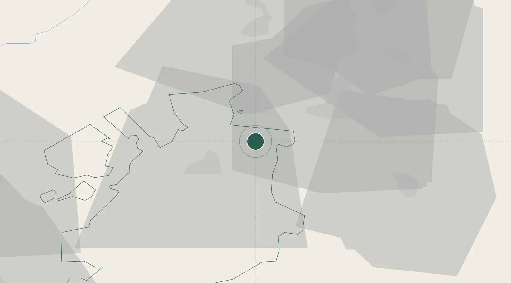
Nearby Logistics Neighbours

Cities
  1. 1Neuenegg4 km
  2. 2Thörishaus6 km
  3. 3Schwarzenburg6 km
  4. 4Cressier11 km
  5. 5Köniz12 km
Nearest neighbours — logibook spatial index (haversine) over the source coordinates
Ports
  1. 1Savona299 km
  2. 2Genova303 km
  3. 3Rada Di Vado304 km
  4. 4Chiavari - Lavagna327 km
  5. 5Imperia337 km
Nearest neighbours — logibook spatial index (haversine) over the source coordinates
Airports
  1. 1Bern Airport18 km
  2. 2Payerne Air Base27 km
  3. 3Grenchen Airfield37 km
  4. 4Les Eplatures Airport43 km
  5. 5Sion Airport72 km
Nearest neighbours — logibook spatial index (haversine) over the source coordinates
Trade Zones
  1. 1PESA - Port-Franc et Entrepôts de Lausanne-Chavornay SA56 km
  2. 2Port Franc Vevey70 km
  3. 3ZFU Montbéliard80 km
  4. 4ZFU Belfort93 km
  5. 5ZFU Mulhouse98 km
Nearest neighbours — logibook spatial index (haversine) over the source coordinates
DatabookThe Record of Consolidated Knowledge
Switzerland beyond logistics?
Browse databook

All Sources

LocationsUN/LOCODE
UN/LOCODE — free
Portsthe NGA World Port Index
Public domain (US gov)
AirportsOurAirports
Public domain
Trade Zonesthe World Bank SEZ database
CC BY 4.0
Trade ZonesOpen Zone Map
CC BY
← Switzerland locations