Transport Functions
Multimodal
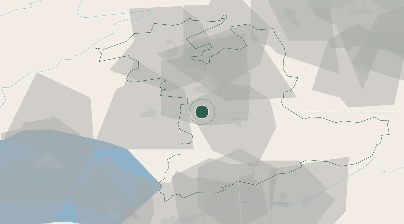
Hub Profile
Place type
Populated place
Region
Bern
Population
1,933
Time zone
Europe/Zurich
Elevation
944 m
Location
Nearby Logistics Neighbours
Cities
- 1Zimmerwald6 km
- 2Schwarzenburg8 km
- 3Belp9 km
- 4Niederwichtrach11 km
- 5Köniz11 km
Ports
- 1Savona290 km
- 2Genova293 km
- 3Rada Di Vado295 km
- 4Chiavari - Lavagna316 km
- 5Imperia330 km
Airports
- 1Bern Airport12 km
- 2Payerne Air Base40 km
- 3Grenchen Airfield41 km
- 4Les Eplatures Airport57 km
- 5Alpnach Air Base66 km
Trade Zones
- 1PESA - Port-Franc et Entrepôts de Lausanne-Chavornay SA67 km
- 2Port Franc Vevey77 km
- 3ZFU Montbéliard91 km
- 4ZFU Belfort104 km
- 5ZFU Mulhouse104 km
DatabookThe Record of Consolidated Knowledge
Switzerland beyond logistics?