Medium airport · Switzerland
Sion AirportLSGS
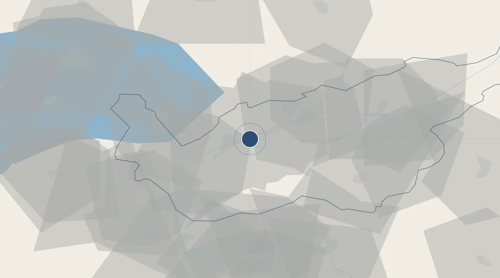
46.2192°, 7.3269°
6,562 ft
Longest runway
2
Runways
1,582 ft
Elevation
Runway & Layout

Radio Frequencies
TWR
118.275 MHz
GND
121.7 MHz
APP
126.825 MHz
RADAR
A/G
134.275 MHz
SWISS MILITARY RADAR
INFO
122.35 MHz
Navaids
MOT VOR-DME Montana 115.85 MHz
SIO VOR-DME Sion 112.15 MHz
Runways · 2
| Runway | Dimensions | Surface | True heading | Lit |
|---|---|---|---|---|
| 07/25 | 6,562 × 131ft | ASPH | 073° | ✓ |
| 07L/25R | 1,837 × 98ft | Grass | 073° | — |
Airport Specifications
IATA code
SIR
ICAO code
LSGS
Airport class
Medium airport
Scheduled service
No
Runway surface
ASPH
Served city
Sion
Location
Nearby Logistics Neighbours
Airports
- 1Aosta Corrado Gex Airport54 km
- 2Payerne Air Base76 km
- 3Bern Airport78 km
- 4Annemasse Airfield82 km
- 5Geneva Cointrin International Airport94 km
Ports
- 1Savona231 km
- 2Rada Di Vado235 km
- 3Genova238 km
- 4Chiavari - Lavagna264 km
- 5Imperia266 km
Trade Zones
DatabookThe Record of Consolidated Knowledge
Switzerland beyond logistics?