Transport Functions
Rail
Road
Hub Profile
Place type
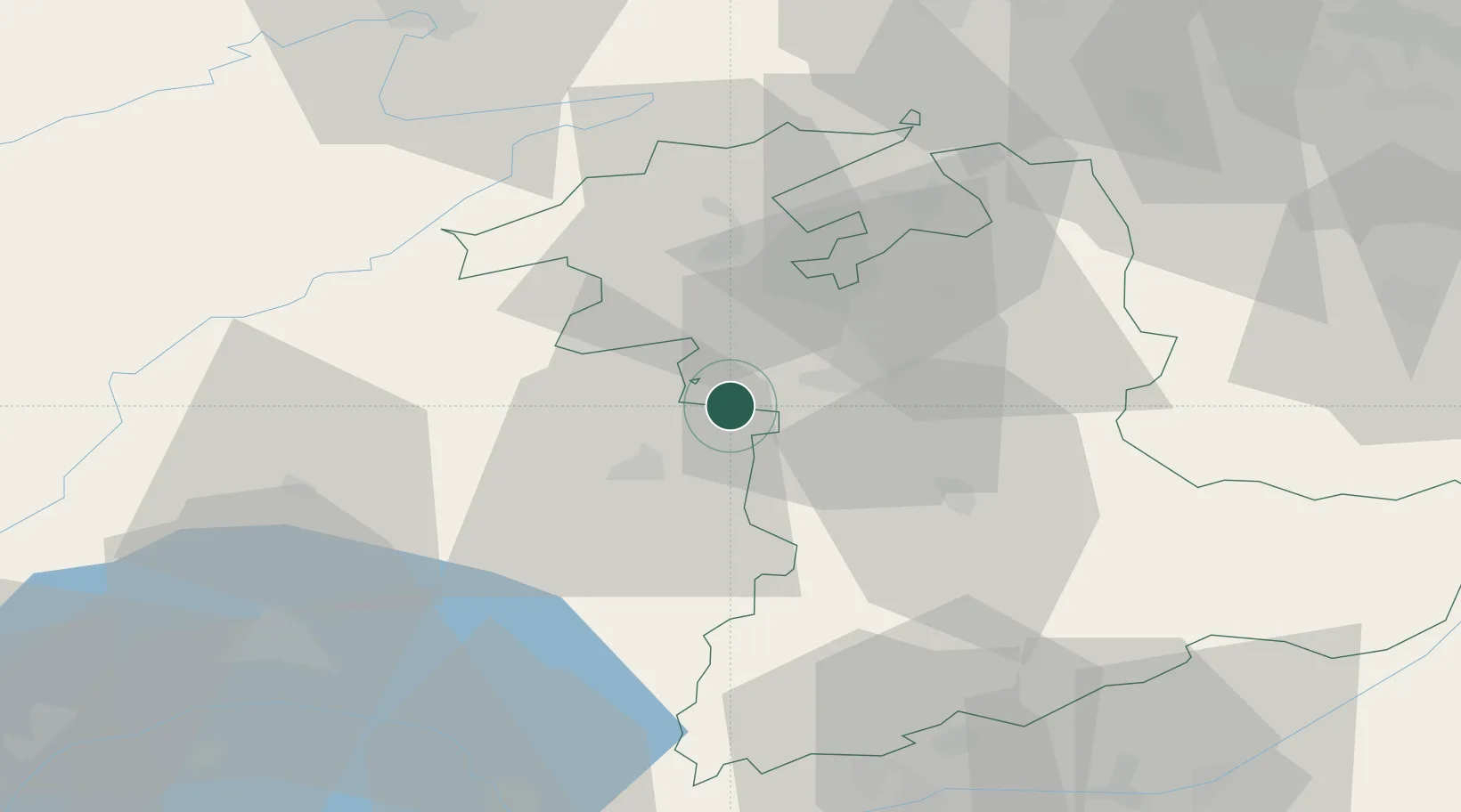
Populated place
Region
Bern
Time zone
Europe/Zurich
Elevation
532 m
Location
Nearby Logistics Neighbours
Cities
- 1Thörishaus4 km
- 2Wünnewil-Flamatt4 km
- 3Schwarzenburg8 km
- 4Köniz9 km
- 5Kerzers11 km
Ports
- 1Savona302 km
- 2Genova306 km
- 3Rada Di Vado307 km
- 4Chiavari - Lavagna329 km
- 5Imperia341 km
Airports
- 1Bern Airport16 km
- 2Payerne Air Base29 km
- 3Grenchen Airfield33 km
- 4Les Eplatures Airport43 km
- 5Montbéliard-Courcelles Airfield75 km
Trade Zones
- 1PESA - Port-Franc et Entrepôts de Lausanne-Chavornay SA59 km
- 2Port Franc Vevey73 km
- 3ZFU Montbéliard77 km
- 4ZFU Belfort90 km
- 5ZFU Mulhouse95 km
DatabookThe Record of Consolidated Knowledge
Switzerland beyond logistics?