UN/LOCODE hub · Switzerland
CHKOZ

Köniz

46.9167°, 7.4000°
2
Transport functions

Transport Functions

Road
Multimodal
UN/LOCODE

Hub Profile

Region
BE
GeoNames

Location

Location of CHKOZ
Natural Earth 10m (public domain) · BE · CHKOZ · 46.92, 7.40GoogleOSMYandex

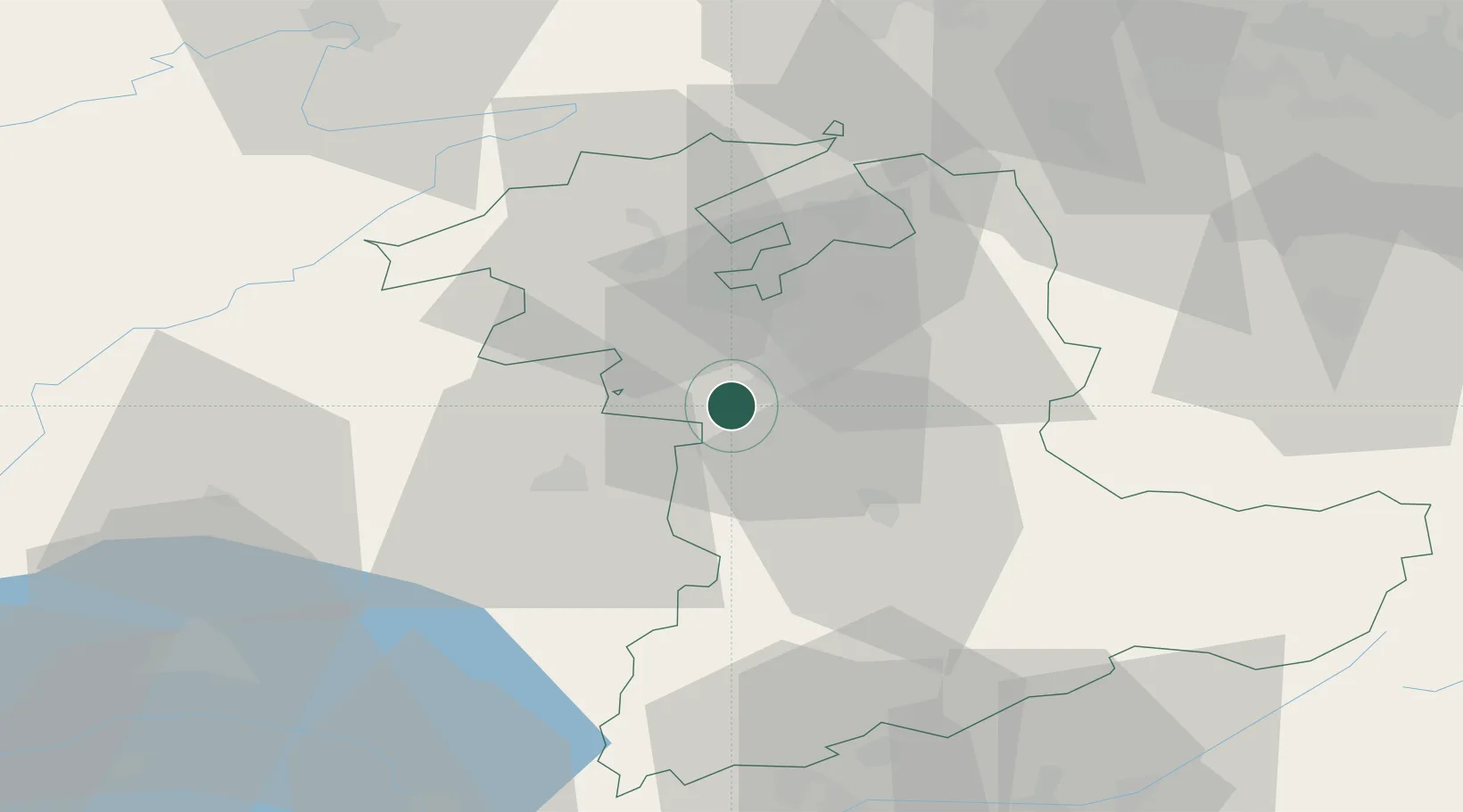
Nearby Logistics Neighbours

Cities
  1. 1Thörishaus5 km
  2. 2Worblaufen8 km
  3. 3Zimmerwald8 km
  4. 4Belp9 km
  5. 5Neuenegg9 km
Nearest neighbours — logibook spatial index (haversine) over the source coordinates
Ports
  1. 1Savona302 km
  2. 2Genova304 km
  3. 3Rada Di Vado306 km
  4. 4Chiavari - Lavagna327 km
  5. 5Imperia341 km
Nearest neighbours — logibook spatial index (haversine) over the source coordinates
Airports
  1. 1Bern Airport8 km
  2. 2Grenchen Airfield30 km
  3. 3Payerne Air Base38 km
  4. 4Les Eplatures Airport50 km
  5. 5Alpnach Air Base67 km
Nearest neighbours — logibook spatial index (haversine) over the source coordinates
Trade Zones
  1. 1PESA - Port-Franc et Entrepôts de Lausanne-Chavornay SA68 km
  2. 2ZFU Montbéliard80 km
  3. 3Port Franc Vevey81 km
  4. 4ZFU Belfort93 km
  5. 5ZFU Mulhouse93 km
Nearest neighbours — logibook spatial index (haversine) over the source coordinates
DatabookThe Record of Consolidated Knowledge
Switzerland beyond logistics?
Browse databook

All Sources

LocationsUN/LOCODE
UN/LOCODE — free
Portsthe NGA World Port Index
Public domain (US gov)
AirportsOurAirports
Public domain
Trade Zonesthe World Bank SEZ database
CC BY 4.0
Trade ZonesOpen Zone Map
CC BY
← Switzerland locations