Transport Functions
Rail
Road
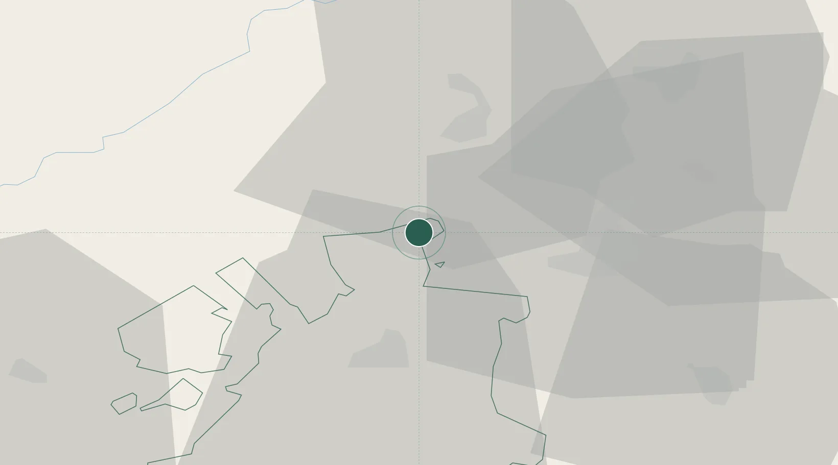
Hub Profile
Place type
Populated place
Region
Fribourg
Population
4,459
Time zone
Europe/Zurich
Elevation
455 m
Location
Nearby Logistics Neighbours
Cities
- 1Müntschemier5 km
- 2Epagny5 km
- 3Ins8 km
- 4Cressier11 km
- 5Neuenegg11 km
Ports
- 1Savona313 km
- 2Genova317 km
- 3Rada Di Vado318 km
- 4Chiavari - Lavagna341 km
- 5Imperia351 km
Airports
- 1Bern Airport24 km
- 2Payerne Air Base27 km
- 3Grenchen Airfield28 km
- 4Les Eplatures Airport33 km
- 5Montbéliard-Courcelles Airfield64 km
Trade Zones
- 1PESA - Port-Franc et Entrepôts de Lausanne-Chavornay SA57 km
- 2ZFU Montbéliard66 km
- 3Port Franc Vevey75 km
- 4ZFU Belfort79 km
- 5ZFU Mulhouse86 km
DatabookThe Record of Consolidated Knowledge
Switzerland beyond logistics?