Transport Functions
Rail
Road
Hub Profile
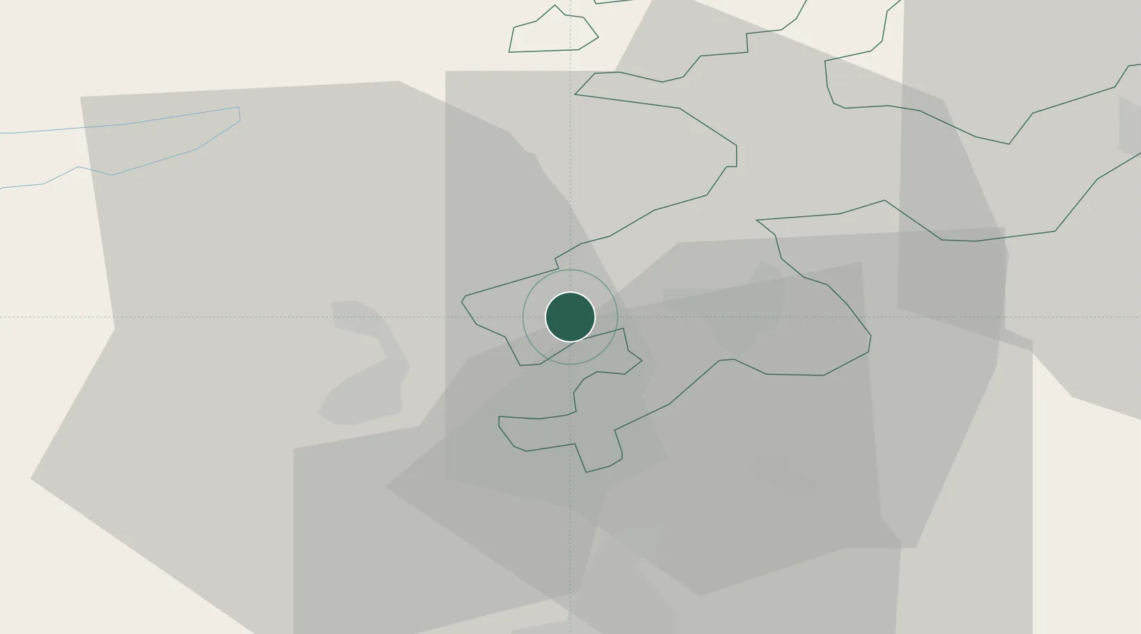
Place type
Populated place
Region
Solothurn
Population
2,900
Time zone
Europe/Zurich
Elevation
453 m
Location
Nearby Logistics Neighbours
Cities
- 1Lengnau7 km
- 2Pieterlen8 km
- 3Zuchwil9 km
- 4Biberist10 km
- 5Derendingen10 km
Ports
- 1Savona331 km
- 2Genova332 km
- 3Rada Di Vado336 km
- 4Chiavari - Lavagna354 km
- 5Imperia372 km
Airports
- 1Grenchen Airfield2 km
- 2Bern Airport32 km
- 3EuroAirport Basel–Mulhouse–Freiburg45 km
- 4Les Eplatures Airport50 km
- 5Payerne Air Base56 km
Trade Zones
- 1ZFU Montbéliard59 km
- 2ZFU Mulhouse62 km
- 3ZFU Belfort68 km
- 4PESA - Port-Franc et Entrepôts de Lausanne-Chavornay SA86 km
- 5Port Franc Vevey105 km
DatabookThe Record of Consolidated Knowledge
Switzerland beyond logistics?