Transport Functions
Rail
Road
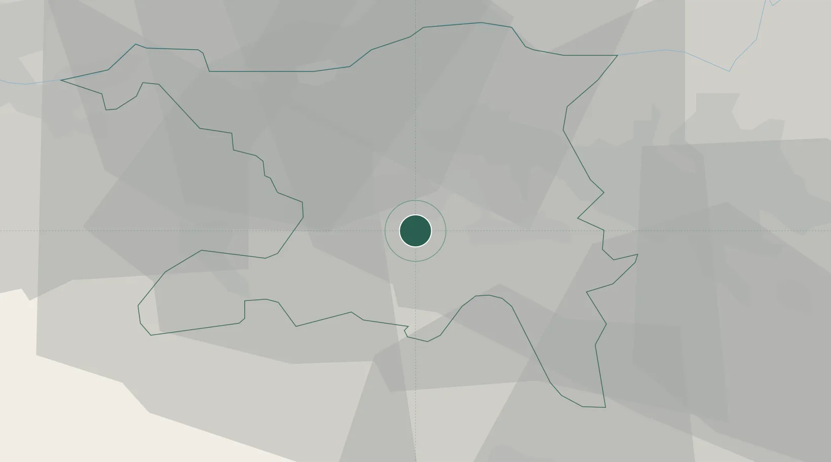
Hub Profile
Place type
Provincial seat
Region
Aargau
Population
10,569
Time zone
Europe/Zurich
Elevation
402 m
Logistics facilities
1
Location
Nearby Logistics Neighbours
Cities
- 1Schafisheim4 km
- 2Hunzenschwil5 km
- 3Leutwil5 km
- 4Gränichen5 km
- 5Dottikon5 km
Ports
- 1Genova335 km
- 2Savona340 km
- 3Rada Di Vado345 km
- 4Chiavari - Lavagna352 km
- 5La Spezia385 km
Airports
- 1Zürich Airport31 km
- 2Emmen Air Base32 km
- 3Dübendorf Air Base36 km
- 4Alpnach Air Base47 km
- 5EuroAirport Basel–Mulhouse–Freiburg55 km
Trade Zones
- 1ZFU Mulhouse76 km
- 2ZFU Montbéliard105 km
- 3ZFU Belfort107 km
- 4ZFU Neuhof134 km
- 5ZFU Hautepierre142 km
DatabookThe Record of Consolidated Knowledge
Switzerland beyond logistics?