Transport Functions
Road
Multimodal
Hub Profile
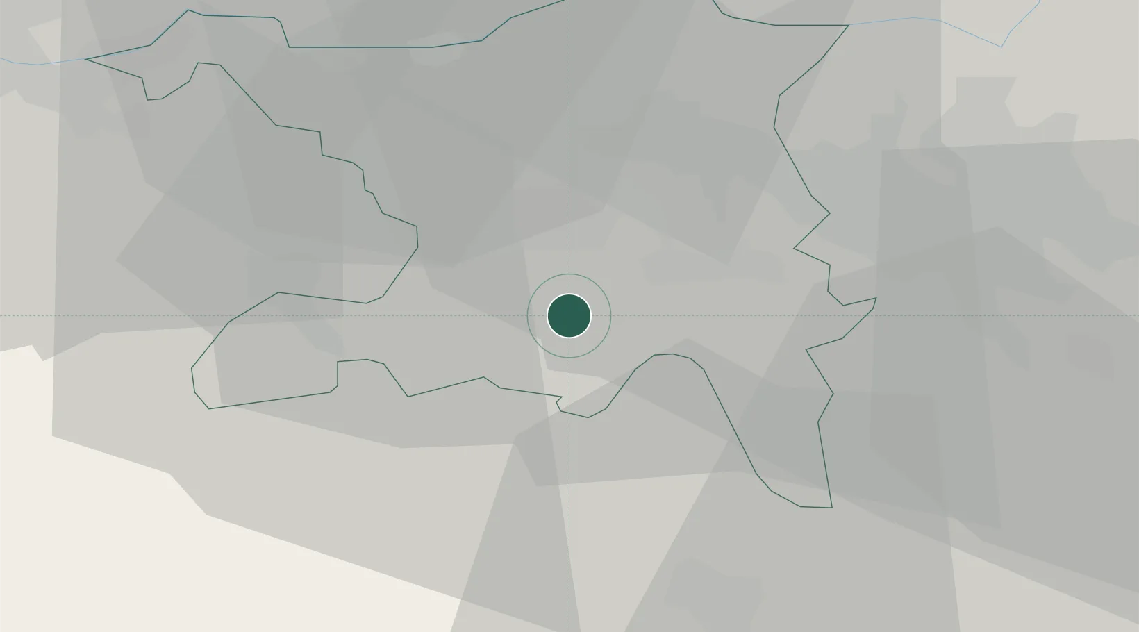
Place type
Populated place
Region
Aargau
Population
747
Time zone
Europe/Zurich
Elevation
602 m
Location
Nearby Logistics Neighbours
Cities
- 1Birrwil5 km
- 2Lenzburg5 km
- 3Reinach6 km
- 4Gränichen6 km
- 5Meisterschwanden6 km
Ports
- 1Genova330 km
- 2Savona335 km
- 3Rada Di Vado340 km
- 4Chiavari - Lavagna347 km
- 5La Spezia380 km
Airports
- 1Emmen Air Base27 km
- 2Zürich Airport33 km
- 3Dübendorf Air Base37 km
- 4Alpnach Air Base42 km
- 5EuroAirport Basel–Mulhouse–Freiburg58 km
Trade Zones
- 1ZFU Mulhouse79 km
- 2ZFU Montbéliard106 km
- 3ZFU Belfort109 km
- 4PESA - Port-Franc et Entrepôts de Lausanne-Chavornay SA139 km
- 5ZFU Neuhof139 km
DatabookThe Record of Consolidated Knowledge
Switzerland beyond logistics?