Transport Functions
Rail
Road
Hub Profile
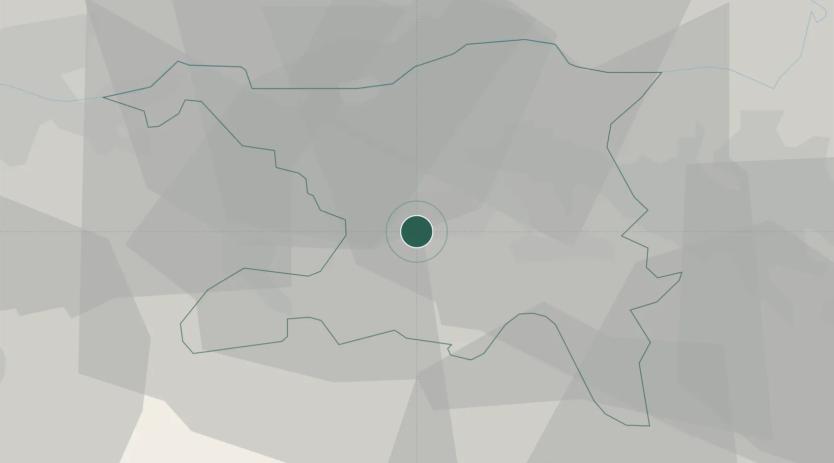
Place type
Populated place
Region
Aargau
Time zone
Europe/Zurich
Elevation
401 m
Location
Nearby Logistics Neighbours
Cities
- 1Schafisheim1 km
- 2Suhr3 km
- 3Gränichen4 km
- 4Lenzburg5 km
- 5Möriken6 km
Ports
- 1Genova338 km
- 2Savona342 km
- 3Rada Di Vado348 km
- 4Chiavari - Lavagna355 km
- 5La Spezia389 km
Airports
- 1Zürich Airport34 km
- 2Emmen Air Base35 km
- 3Dübendorf Air Base40 km
- 4Alpnach Air Base51 km
- 5EuroAirport Basel–Mulhouse–Freiburg51 km
Trade Zones
- 1ZFU Mulhouse71 km
- 2ZFU Montbéliard101 km
- 3ZFU Belfort103 km
- 4ZFU Neuhof131 km
- 5ZFU Hautepierre138 km
DatabookThe Record of Consolidated Knowledge
Switzerland beyond logistics?