Transport Functions
Road
Multimodal
Hub Profile
Region
AG
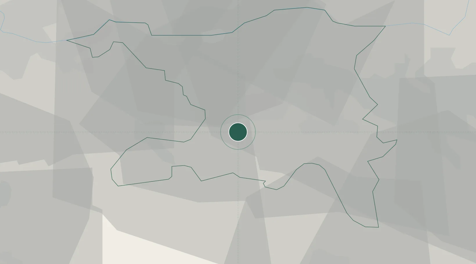
Location
Nearby Logistics Neighbours
Cities
- 1Suhr2 km
- 2Oberentfelden4 km
- 3Hunzenschwil4 km
- 4Muhen4 km
- 5Schafisheim5 km
Ports
- 1Genova334 km
- 2Savona339 km
- 3Rada Di Vado344 km
- 4Chiavari - Lavagna352 km
- 5Imperia386 km
Airports
- 1Emmen Air Base33 km
- 2Zürich Airport36 km
- 3Dübendorf Air Base42 km
- 4Alpnach Air Base47 km
- 5EuroAirport Basel–Mulhouse–Freiburg52 km
Trade Zones
- 1ZFU Mulhouse73 km
- 2ZFU Montbéliard100 km
- 3ZFU Belfort103 km
- 4ZFU Neuhof135 km
- 5PESA - Port-Franc et Entrepôts de Lausanne-Chavornay SA137 km
DatabookThe Record of Consolidated Knowledge
Switzerland beyond logistics?