Transport Functions
Rail
Road
Hub Profile
Place type
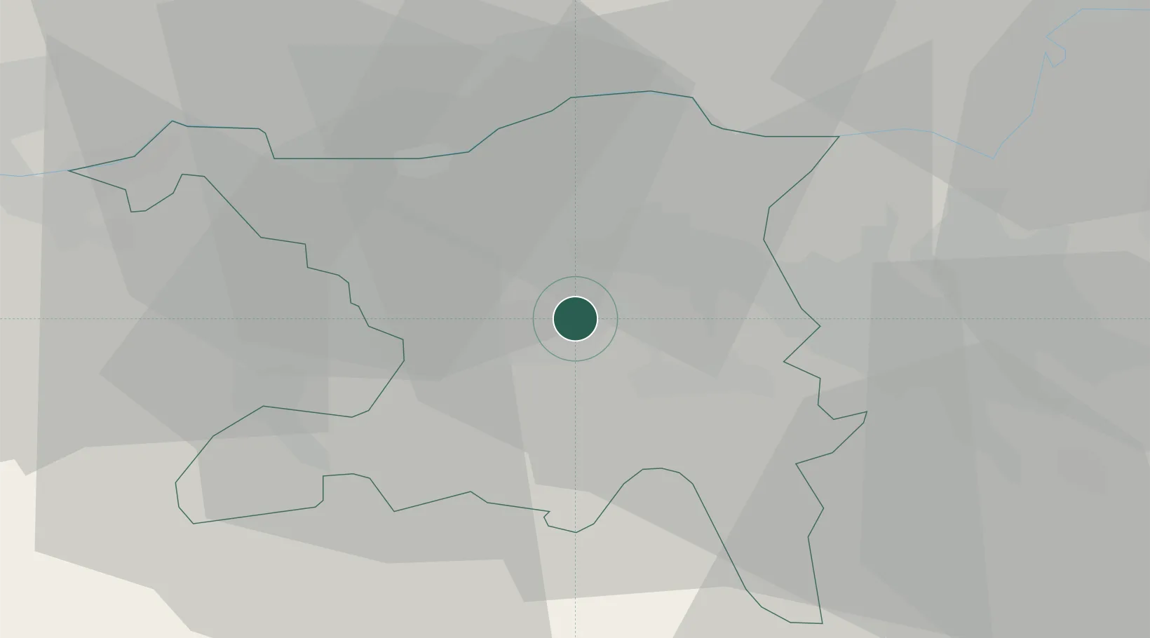
Populated place
Region
Aargau
Time zone
Europe/Zurich
Elevation
390 m
Location
Nearby Logistics Neighbours
Cities
- 1Schinznach Bad2 km
- 2Birr2 km
- 3Lupfig2 km
- 4Mägenwil4 km
- 5Schafisheim5 km
Ports
- 1Genova341 km
- 2Savona346 km
- 3Rada Di Vado351 km
- 4Chiavari - Lavagna357 km
- 5La Spezia390 km
Airports
- 1Zürich Airport28 km
- 2Dübendorf Air Base35 km
- 3Emmen Air Base37 km
- 4Alpnach Air Base53 km
- 5EuroAirport Basel–Mulhouse–Freiburg54 km
Trade Zones
- 1ZFU Mulhouse74 km
- 2ZFU Montbéliard106 km
- 3ZFU Belfort107 km
- 4ZFU Neuhof129 km
- 5ZFU Hautepierre136 km
DatabookThe Record of Consolidated Knowledge
Switzerland beyond logistics?