Transport Functions
Rail
Road
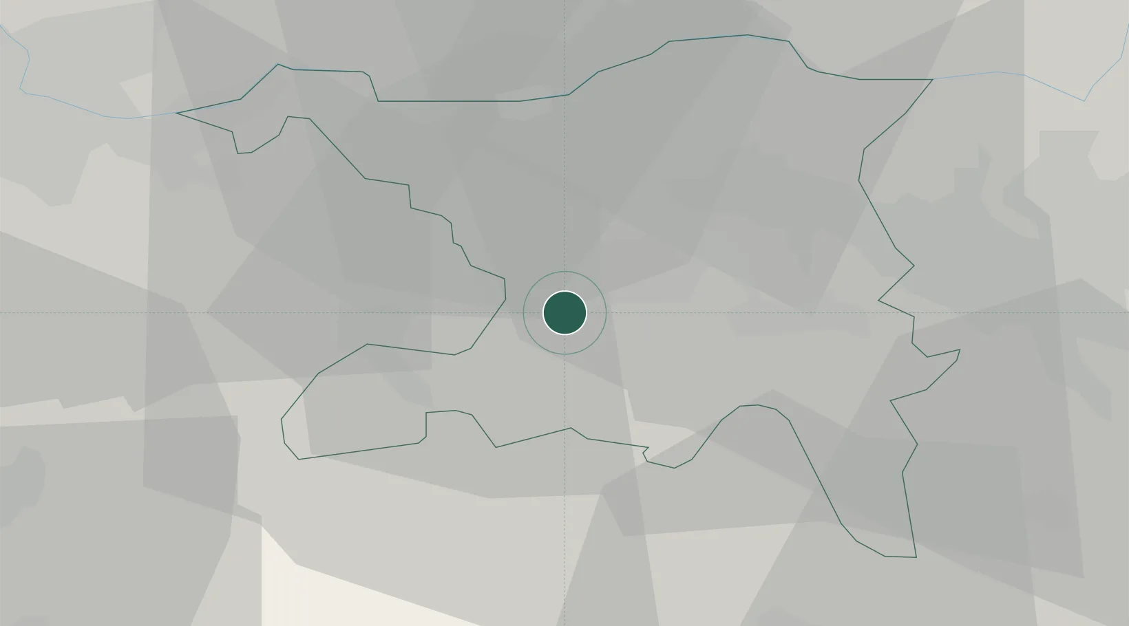
Hub Profile
Place type
District seat
Region
Aargau
Population
9,374
Time zone
Europe/Zurich
Elevation
396 m
Location
Nearby Logistics Neighbours
Cities
- 1Gränichen2 km
- 2Hunzenschwil3 km
- 3Oberentfelden3 km
- 4Schafisheim4 km
- 5Muhen5 km
Ports
- 1Genova336 km
- 2Savona341 km
- 3Rada Di Vado346 km
- 4Chiavari - Lavagna354 km
- 5Imperia387 km
Airports
- 1Emmen Air Base35 km
- 2Zürich Airport36 km
- 3Dübendorf Air Base43 km
- 4Alpnach Air Base49 km
- 5EuroAirport Basel–Mulhouse–Freiburg50 km
Trade Zones
- 1ZFU Mulhouse70 km
- 2ZFU Montbéliard99 km
- 3ZFU Belfort101 km
- 4ZFU Neuhof133 km
- 5PESA - Port-Franc et Entrepôts de Lausanne-Chavornay SA136 km
DatabookThe Record of Consolidated Knowledge
Switzerland beyond logistics?