Transport Functions
Port
Multimodal
Hub Profile
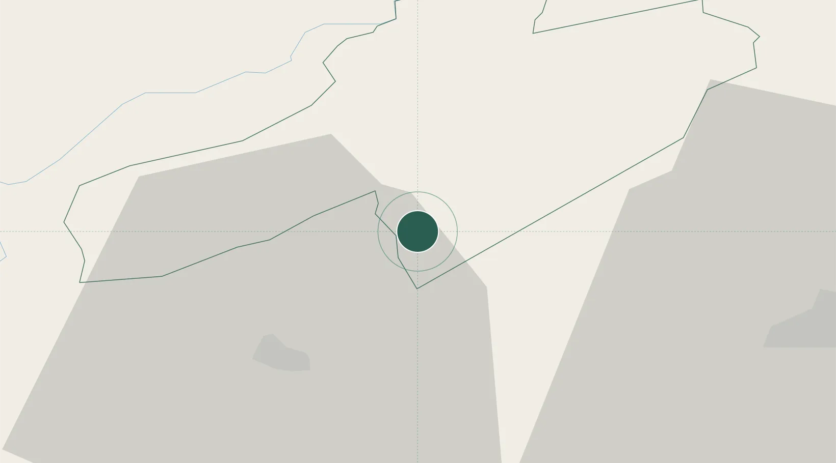
Place type
Populated place
Region
Neuchâtel
Population
1,832
Time zone
Europe/Zurich
Elevation
479 m
Location
Nearby Logistics Neighbours
Cities
- 1Saint-Aubin-Sauges2 km
- 2Vaumarcus4 km
- 3Bevaix5 km
- 4Travers7 km
- 5Chambrielien8 km
Ports
- 1Savona317 km
- 2Rada Di Vado321 km
- 3Genova325 km
- 4Imperia350 km
- 5Chiavari - Lavagna351 km
Airports
- 1Payerne Air Base13 km
- 2Les Eplatures Airport21 km
- 3Bern Airport56 km
- 4Grenchen Airfield58 km
- 5Montbéliard-Courcelles Airfield65 km
Trade Zones
- 1PESA - Port-Franc et Entrepôts de Lausanne-Chavornay SA26 km
- 2Port Franc Vevey51 km
- 3ZFU Montbéliard67 km
- 4ZFU Besancon69 km
- 5ZFU Belfort83 km
DatabookThe Record of Consolidated Knowledge
Switzerland beyond logistics?