Transport Functions
Rail
Road
Postal
Hub Profile
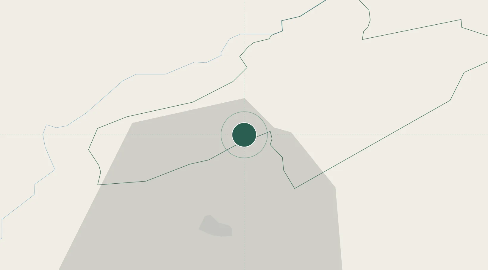
Place type
Populated place
Region
Neuchâtel
Population
1,233
Time zone
Europe/Zurich
Elevation
732 m
Location
Nearby Logistics Neighbours
Cities
- 1Couvet4 km
- 2Môtiers7 km
- 3Gorgier7 km
- 4Saint-Aubin-Sauges8 km
- 5Fleurier9 km
Ports
- 1Savona323 km
- 2Rada Di Vado327 km
- 3Genova331 km
- 4Imperia355 km
- 5San Remo357 km
Airports
- 1Les Eplatures Airport19 km
- 2Payerne Air Base20 km
- 3Bern Airport62 km
- 4Grenchen Airfield62 km
- 5Montbéliard-Courcelles Airfield62 km
Trade Zones
- 1PESA - Port-Franc et Entrepôts de Lausanne-Chavornay SA27 km
- 2Port Franc Vevey53 km
- 3ZFU Besancon61 km
- 4ZFU Montbéliard64 km
- 5ZFU Belfort80 km
DatabookThe Record of Consolidated Knowledge
Switzerland beyond logistics?