UN/LOCODE hub · Switzerland
CHSAS
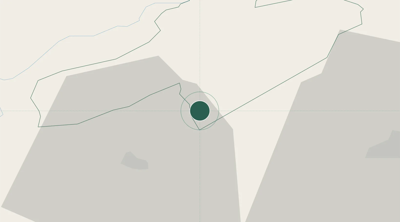
Saint-Aubin-Sauges
46.8833°, 6.7667°
2,476
Population
3
Transport functions
Transport Functions
Port
Road
Multimodal
Hub Profile
Place type
Populated place
Region
Neuchâtel
Population
2,476
Time zone
Europe/Zurich
Elevation
821 m
Location
Nearby Logistics Neighbours
Cities
- 1Gorgier2 km
- 2Vaumarcus2 km
- 3Bevaix7 km
- 4Travers8 km
- 5Montbrelloz9 km
Ports
- 1Savona316 km
- 2Rada Di Vado319 km
- 3Genova323 km
- 4Imperia348 km
- 5Chiavari - Lavagna349 km
Airports
- 1Payerne Air Base12 km
- 2Les Eplatures Airport22 km
- 3Bern Airport56 km
- 4Grenchen Airfield59 km
- 5Montbéliard-Courcelles Airfield67 km
Trade Zones
- 1PESA - Port-Franc et Entrepôts de Lausanne-Chavornay SA25 km
- 2Port Franc Vevey49 km
- 3ZFU Montbéliard69 km
- 4ZFU Besancon70 km
- 5ZFU Belfort85 km
DatabookThe Record of Consolidated Knowledge
Switzerland beyond logistics?